Mesoscale Discussion 1687
Issued: · Valid: –
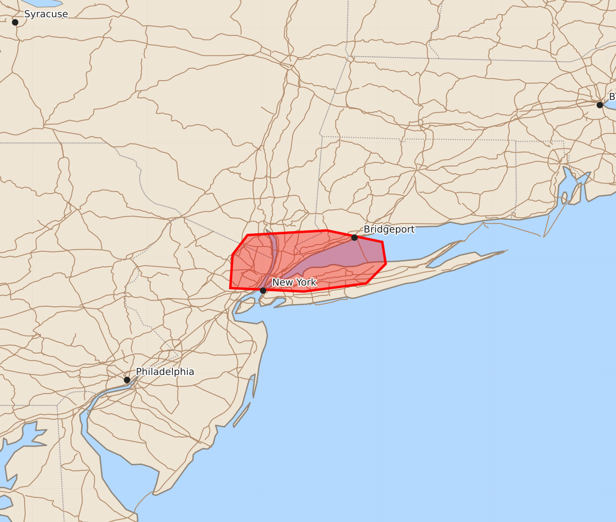
Summary
A localized threat of large hail, damaging winds, and possible tornadoes is expected this morning across northeast New Jersey, southeast New York, and southwest Connecticut.
Product Text
000 ACUS11 KWNS 211435 SWOMCD SPC MCD 211435 NYZ000-CTZ000-NJZ000-211600- Mesoscale Discussion 1687 NWS Storm Prediction Center Norman OK 0935 AM CDT Tue Jul 21 2026 Areas affected...northern New Jersey into southeast New York and southwest Connecticut Concerning...Severe potential...Watch unlikely Valid 211435Z - 211600Z Probability of Watch Issuance...20 percent SUMMARY...A localized severe weather threat is expected this morning across northeast New Jersey, southeast New York, and southwest Connecticut. DISCUSSION...A supercell has developed along a warm front in northern New Jersey this morning. This supercell should continue east along the warm front through the morning with some large hail and damaging wind threat. In addition, stronger southeasterly flow off the Atlantic may lead to some greater low-level shear and tornado potential, especially right along the warm front. Therefore, some tornado threat may also exist with this cell as it continues east. The overall threat is somewhat muted at this time by the relatively weak instability, but mid 70s dewpoints are advecting northeastward quickly and will continue to destabilize the airmass south of this front. Therefore, this cell and any additional cells which develop along the front will be monitored closely this morning, but the limited instability should mitigate the need for a watch. ..Bentley/Mosier.. 07/21/2026 ...Please see www.spc.noaa.gov for graphic product... ATTN...WFO...OKX...PHI... LAT...LON 41247344 41147296 40957293 40787310 40717364 40747428 41037426 41207413 41247344 MOST PROBABLE PEAK TORNADO INTENSITY...85-110 MPH MOST PROBABLE PEAK WIND GUST...55-70 MPH MOST PROBABLE PEAK HAIL SIZE...UP TO 1.25 IN