Mesoscale Discussion 1720
Issued: · Valid: –
Summary
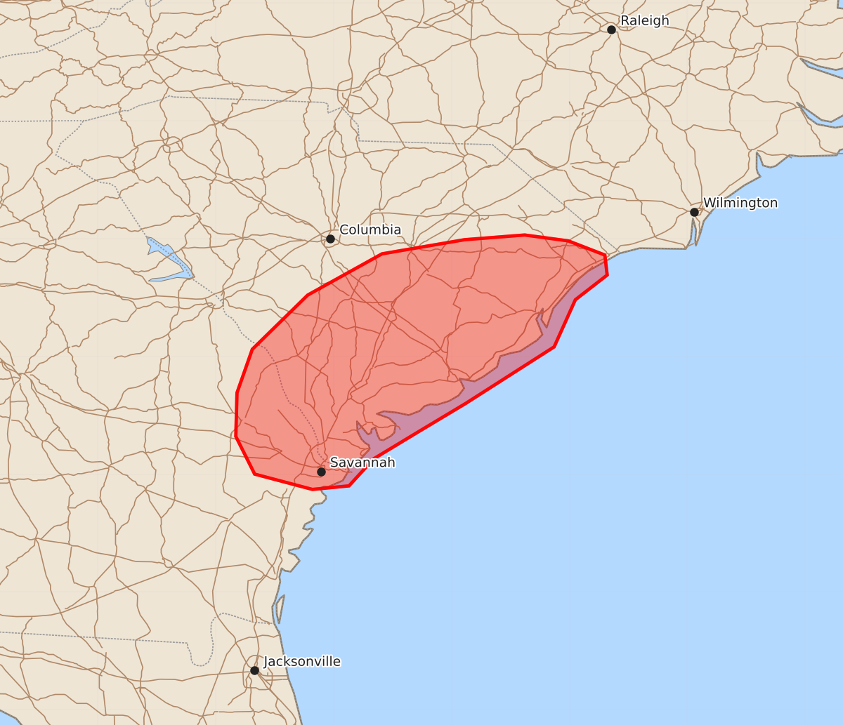
Damaging downburst winds with gusts up to 60 mph are possible across portions of the Georgia and Carolina coasts through late afternoon.
Product Text
000 ACUS11 KWNS 241815 SWOMCD SPC MCD 241815 SCZ000-GAZ000-242015- Mesoscale Discussion 1720 NWS Storm Prediction Center Norman OK 0115 PM CDT Fri Jul 24 2026 Areas affected...Portions of the Georgia and Carolina Coast Concerning...Severe potential...Watch unlikely Valid 241815Z - 242015Z Probability of Watch Issuance...5 percent SUMMARY...The potential for damaging downburst winds is gradually increasing across portions of the Georgia and Carolina coast. This threat is expected to remain sufficiently sporadic and transient to preclude watch issuance. DISCUSSION...Convection has been gradually increasing along the NC/SC coast along a weak cold front as temperatures continue to warm into the low 90s under partly cloudy skies. Continued ascent along the cold front and along a sharpening sea-breeze boundary through late afternoon will promote additional thunderstorms in the coming hours. Deep-layer wind shear across the region remains very weak (per regional VWPs), and will continue to predominantly favor pulse-convection and perhaps poorly organized clusters. However, filtered daytime heating is contributing to low-level lapse rates on the order of 8 C/km through the lowest 1-2 km that may promote downdraft accelerations near the ground. Consequently, some potential will exist for strong downbursts (featuring max winds of 40-60 mph) through late afternoon. This potential will be greatest where dewpoint depressions can be maximized - namely across far eastern GA into southern SC where more limited cloud cover has allowed temperatures to warm into the 90s with ~20 F dewpoint depressions. Given the isolated and transient nature of the threat, watch issuance is not expected. ..Moore/Smith.. 07/24/2026 ...Please see www.spc.noaa.gov for graphic product... ATTN...WFO...ILM...CHS...CAE... LAT...LON 32368028 32138066 31908087 31878118 32008167 32328183 32698182 33068169 33528122 33878059 33997989 34037938 33987901 33867870 33697868 33487895 33087913 32607988 32368028 MOST PROBABLE PEAK WIND GUST...UP TO 60 MPH