Mesoscale Discussion 2288
Issued: · Valid: –
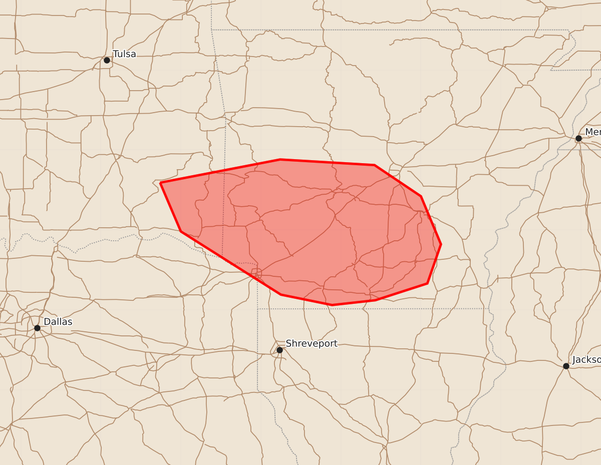
Summary
Isolated severe thunderstorms capable of producing damaging wind gusts are possible for extreme southeast Oklahoma and southern Arkansas through late evening.
Product Text
000 ACUS11 KWNS 122155 SWOMCD SPC MCD 122155 ARZ000-TXZ000-OKZ000-122300- Mesoscale Discussion 2288 NWS Storm Prediction Center Norman OK 0455 PM CDT Sat Sep 12 2026 Areas affected...extreme southeast Oklahoma into southern Arkansas Concerning...Severe potential...Watch unlikely Valid 122155Z - 122300Z Probability of Watch Issuance...5 percent SUMMARY...A couple of damaging gusts are possible with the stronger downbursts, especially if storms can continue to merge. However, the severe threat should remain sparse, with a Severe Thunderstorm Watch issuance not expected. DISCUSSION...Multiple pulse cells and multicells have intensified over the past few hours, and are beginning to show signs of possible larger scale merging. If this occurs, ample evaporative cooling potential exists with cold pool mergers given a well-mixed boundary layer, characterized by 20-30 F T/Td spreads and over 1500 J/kg DCAPE. Damaging gusts may occur with the stronger downbursts and at the intersections of thunderstorm outflow boundaries. Nonetheless, the severe threat should remain isolated at best, and a Severe Thunderstorm Watch issuance is not expected. ..Squitieri/Smith.. 09/12/2026 ...Please see www.spc.noaa.gov for graphic product... ATTN...WFO...JAN...LZK...SHV...TSA... LAT...LON 34599526 34889376 34819258 34429200 33829175 33339192 33129257 33069311 33199375 33989500 34599526 MOST PROBABLE PEAK WIND GUST...55-70 MPH