Watch 304 Outline
Issued:
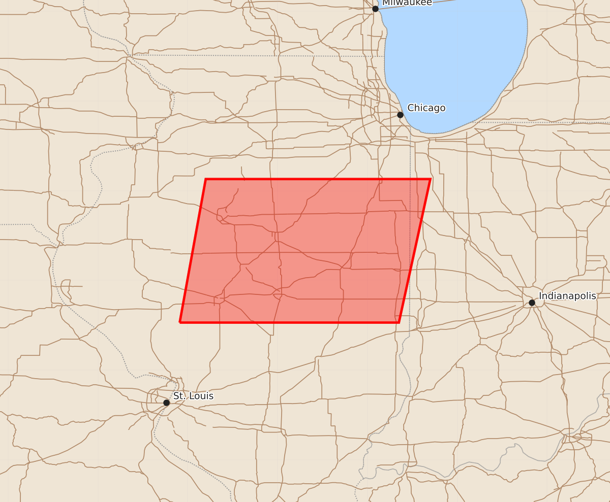
Summary
A severe thunderstorm watch is in effect for portions of central Illinois, including areas near Decatur and Bloomington, from 2:40 p.m. to 6:00 p.m. CDT. Expected hazards include 1.5-inch hail and wind gusts up to 63 mph.
Product Text
000 WWUS30 KWNS 101938 SAW4 SPC AWW 101938 WW 304 SEVERE TSTM IL IN LM 101940Z - 110300Z AXIS..65 STATUTE MILES EAST AND WEST OF LINE.. 20S DEC/DECATUR IL/ - 50NNE BMI/BLOOMINGTON IL/ ..AVIATION COORDS.. 55NM E/W /12S AXC - 27SSW JOT/ HAIL SURFACE AND ALOFT..1.5 INCHES. WIND GUSTS..55 KNOTS. MAX TOPS TO 500. MEAN STORM MOTION VECTOR 27035. LAT...LON 39539009 41138980 41138730 39538765 THIS IS AN APPROXIMATION TO THE WATCH AREA. FOR A COMPLETE DEPICTION OF THE WATCH SEE WOUS64 KWNS FOR WOU4.