Mesoscale Discussion 1234
Issued: · Valid: –
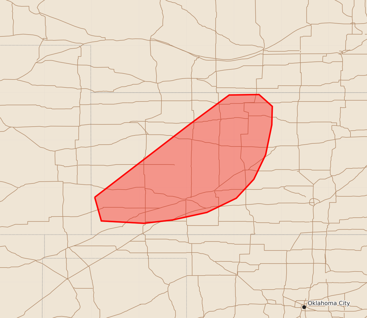
Summary
Severe thunderstorms capable of producing large hail, damaging wind gusts, and a possible tornado are expected to affect portions of northern and southwestern Kansas later this evening.
Product Text
000 ACUS11 KWNS 212219 SWOMCD SPC MCD 212219 KSZ000-212315- Mesoscale Discussion 1234 NWS Storm Prediction Center Norman OK 0519 PM CDT Sun Jun 21 2026 Areas affected...portions of northern into southwestern Kansas Concerning...Severe potential...Severe Thunderstorm Watch likely Valid 212219Z - 212315Z Probability of Watch Issuance...80 percent SUMMARY...The severe threat will increase downstream of Severe Thunderstorm Watch 364, over northern into southwestern KS in a few hours. Severe gusts/hail are likely, and a tornado is also possible. A Severe Thunderstorm watch will be needed soon to address the impending threat. DISCUSSION...Multiple supercells with a history of severe gusts/hail continue to progress southeastward along a diffuse baroclinic zone, where strong instability and vertical wind shear reside. Per 22Z mesoanalysis, a plume of 8.5+ C/km mid-level lapse rates, atop upper 60s to near 70 F surface dewpoints, is supporting 2500-3000 J/kg MLCAPE across southwestern into central KS. Coinciding with this strong buoyancy is 50-60 kts of effective bulk shear. Any storms that remain supercellular in this environment will remain capable of producing severe hail, including stones reaching 2-3 inches in diameter, and perhaps a tornado. However, with time, storms should develop into smaller line segments, where severe gusts (perhaps one or two exceeding 75 mph) will become the main threat. A Severe Thunderstorm watch will likely be needed soon. ..Squitieri/Smith.. 06/21/2026 ...Please see www.spc.noaa.gov for graphic product... ATTN...WFO...ICT...GID...DDC...GLD... LAT...LON 37790194 39329995 39959910 39969847 39719819 39329820 38699833 38179858 37779895 37479957 37310030 37240090 37290180 37790194 MOST PROBABLE PEAK TORNADO INTENSITY...85-110 MPH MOST PROBABLE PEAK WIND GUST...65-80 MPH MOST PROBABLE PEAK HAIL SIZE...1.50-2.50 IN