Mesoscale Discussion 1216
Issued: · Valid: –
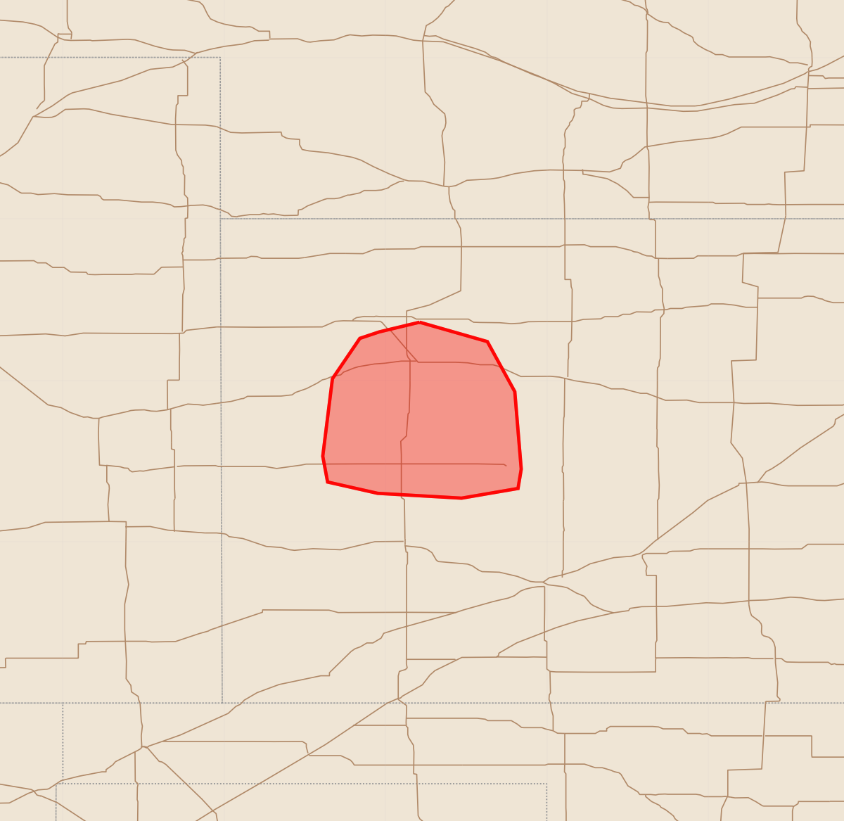
Summary
Severe wind gusts of up to 100 mph are expected to impact portions of western Kansas over the next few hours. This severe weather threat includes potential for significant wind damage and large hail.
Product Text
000 ACUS11 KWNS 210009 SWOMCD SPC MCD 210008 KSZ000-210045- Mesoscale Discussion 1216 NWS Storm Prediction Center Norman OK 0708 PM CDT Sat Jun 20 2026 Areas affected...portions of western Kansas Concerning...Tornado and Severe Thunderstorm Watches 357...358... Valid 210008Z - 210045Z The severe weather threat for Tornado and Severe Thunderstorm Watches 357, 358 continues. SUMMARY...A severe wind swath is beginning, with up to 100 mph gusts likely over the next couple of hours. DISCUSSION...Merging supercells have recently formed into a cold-pool-driven MCS. In the last 30 minutes, multiple measured gusts over 90 mph and appreciable damage have been reported in the Colby, KS vicinity. Some bowing tendencies have been noted with this MCS, with KDDC radar inbound velocity data showing the onset of a rear-inflow jet developing with the aid of remnant supercell mesocyclones, which may be transitioning to effective book-end vorticies. This convective morphology is unfolding within a highly favorable mesoscale setup, with the MCS bow echo structure roughly traversing a retreating baroclinic boundary, amid 2500-3000 J/kg MLCAPE and 60+ kts of effective bulk shear perpendicular to the MCS leading line. Several 75+ mph gusts are expected, with some potentially reaching 100 mph over the next couple of hours. ..Squitieri.. 06/21/2026 ...Please see www.spc.noaa.gov for graphic product... ATTN...WFO...DDC...GLD... LAT...LON 39360079 39240037 38930020 38450016 38330018 38270053 38300105 38370136 38530139 39010133 39260116 39300104 39360079 MOST PROBABLE PEAK TORNADO INTENSITY...100-125 MPH MOST PROBABLE PEAK WIND GUST...85-100 MPH MOST PROBABLE PEAK HAIL SIZE...1.00-1.75 IN