Mesoscale Discussion 1531
Issued: · Valid: –
Summary
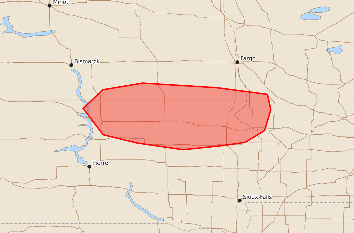
Isolated large hail is possible across northeast South Dakota, far southeast North Dakota, and west-central Minnesota over the next one to three hours.
Product Text
000 ACUS11 KWNS 071429 SWOMCD SPC MCD 071429 MNZ000-SDZ000-NDZ000-071630- Mesoscale Discussion 1531 NWS Storm Prediction Center Norman OK 0929 AM CDT Tue Jul 07 2026 Areas affected...Northeast South Dakota...far southeast North Dakota...west-central Minnesota Concerning...Severe potential...Watch possible Valid 071429Z - 071630Z Probability of Watch Issuance...40 percent SUMMARY...Isolated large hail is possible as convection moves eastward over the next 1-3 hours. A watch is not currently expected, but trends will be monitored into the afternoon. DISCUSSION...A small cluster of storms is moving eastward on the cool side of a stationary boundary. Weak warm advection is likely supporting this activity. Given the steep mid-level lapse rates and modest elevated buoyancy, isolated large hail is possible with the strongest storm cores. 850 mb winds are expected to weaken slightly over the next couple of hours. At least in the short term, it is not likely for enough of a cold pool to develop to maintain organization or for the boundary to lift northward and storms to become surface based. Destabilization is occurring farther east and the boundary orientation could allow this cluster to interact with it by mid afternoon. Observational trends will continue to be monitored. ..Wendt/Hart.. 07/07/2026 ...Please see www.spc.noaa.gov for graphic product... ATTN...WFO...MPX...FGF...ABR...BIS... LAT...LON 44939919 45130001 45760049 46210002 46379906 46269728 46109606 45739598 45239613 44959659 44879712 44779809 44939919 MOST PROBABLE PEAK WIND GUST...55-70 MPH MOST PROBABLE PEAK HAIL SIZE...1.00-1.75 IN