Mesoscale Discussion 1830
Issued: · Valid: –
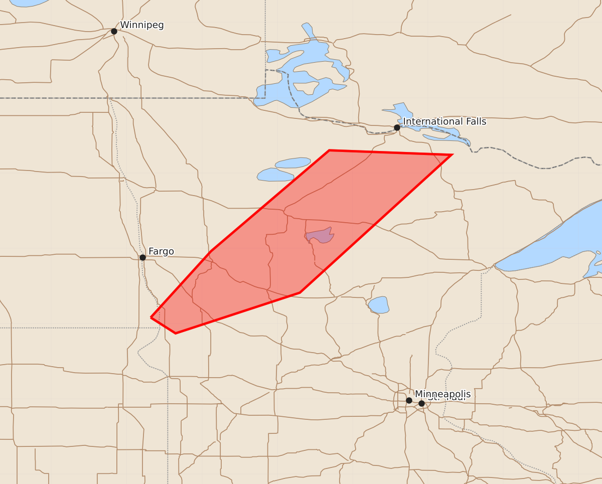
Summary
Severe thunderstorms capable of producing damaging winds, large hail, and brief tornadoes may affect north central through west central Minnesota from 9 PM to midnight.
Product Text
000 ACUS11 KWNS 040205 SWOMCD SPC MCD 040204 MNZ000-NDZ000-040400- Mesoscale Discussion 1830 NWS Storm Prediction Center Norman OK 0904 PM CDT Mon Aug 03 2026 Areas affected...north central through west central Minnesota Concerning...Severe Thunderstorm Watch 537... Valid 040204Z - 040400Z The severe weather threat for Severe Thunderstorm Watch 537 continues. SUMMARY...Stronger storms, mainly those initially forming along the eastward advancing cold front, may continue to briefly pose a risk for severe weather into the 10 PM-midnight time frame. DISCUSSION...The surface frontal zone now appears to be in the process of advancing eastward, with 2-4 mb 2-hourly surface pressure rises recorded in 01Z observations west of Bemidji MN through Wahpeton ND and north through west of Watertown SD. This appears to be occurring in the wake of a developing surface frontal wave which likely will overspread the International Falls area (where 2 hourly falls on the order of 2 mb are evident near and to its southwest) within the next few hours. Thunderstorm activity does continue to increase along and to the cool side of the front, with initial stronger storms developing along the front likely to continue to be quickly undercut. But these could still briefly pose a risk for damaging wind gusts and perhaps a brief tornado, in addition to large hail, into the 03-05Z time frame. ..Kerr.. 08/04/2026 ...Please see www.spc.noaa.gov for graphic product... ATTN...WFO...DLH...MPX...FGF...ABR... LAT...LON 46089668 46969588 48309431 48249269 46419470 45879635 46089668