Mesoscale Discussion 2163
Issued: · Valid: –
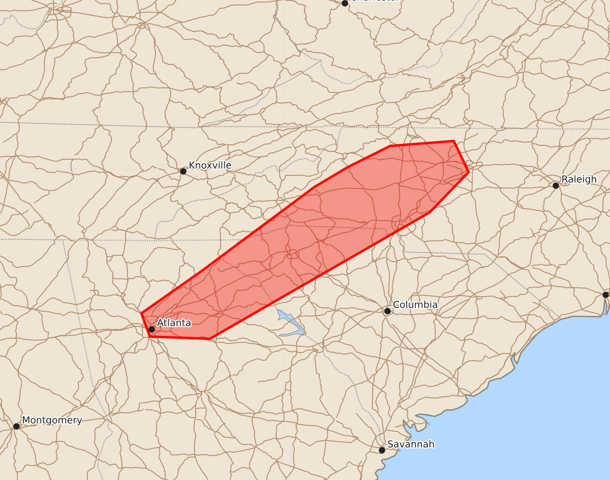
Summary
Thunderstorms across the western Carolinas and northeast Georgia may produce locally strong to damaging wind gusts this afternoon.
Product Text
000 ACUS11 KWNS 281836 SWOMCD SPC MCD 281835 NCZ000-SCZ000-GAZ000-282100- Mesoscale Discussion 2163 NWS Storm Prediction Center Norman OK 0135 PM CDT Fri Aug 28 2026 Areas affected...western Carolinas into northeast Georgia Concerning...Severe potential...Watch unlikely Valid 281835Z - 282100Z Probability of Watch Issuance...5 percent SUMMARY...Storms will increase in coverage this afternoon, with locally strong to perhaps damaging gusts possible. DISCUSSION...A weak wind shift and surface trough currently extend from southern VA into the western Carolinas and northern GA, with thunderstorms now forming within this zone. Gradual destabilization has occurred with MLCAPE of 1500-2000 J/kg, and continued heating is expected just east of the surface trough. Lapse rate profiles are not particularly steep, with surface temperatures mainly in the 80s F. However, minor cooling aloft has occurred as southern parts of the upper trough graze the area. Storms should generally increase in coverage through the afternoon as they encounter the warming air mass to the east. Winds in the lower levels will remain weak, as will forcing for ascent overall. As such, most of these storms should continued to be short lived. ..Jewell/Mosier.. 08/28/2026 ...Please see www.spc.noaa.gov for graphic product... ATTN...WFO...RAH...RNK...GSP...FFC... LAT...LON 34558367 35758206 36038159 36338099 36408009 35967988 35398043 33608354 33638439 33968451 34558367 MOST PROBABLE PEAK WIND GUST...UP TO 60 MPH