Mesoscale Discussion 1468
Issued: · Valid: –
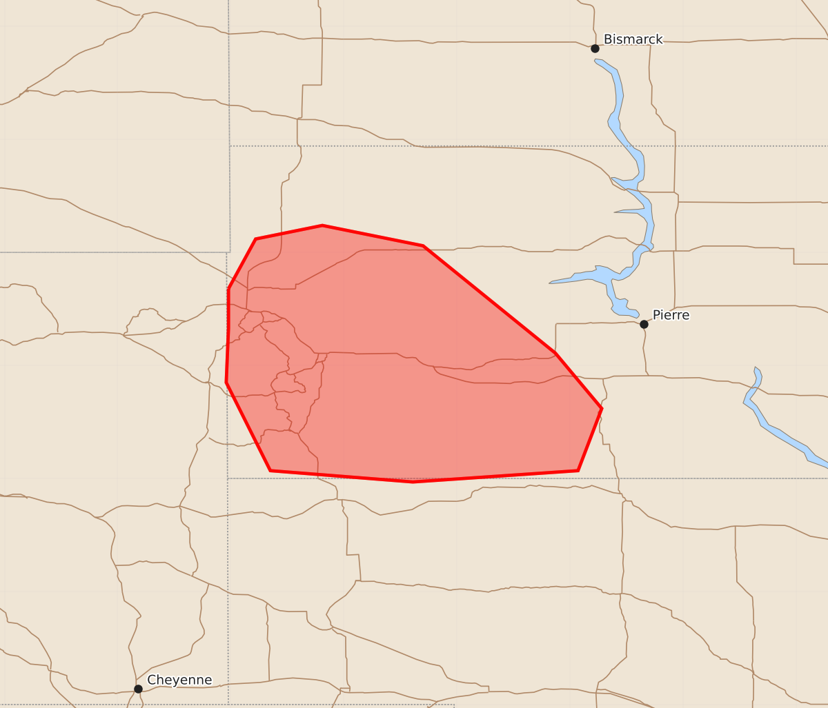
Summary
Isolated severe thunderstorms are expected to develop across western South Dakota this afternoon and into the early evening. These storms may produce damaging wind gusts and large hail up to 2.5 inches.
Product Text
000 ACUS11 KWNS 031808 SWOMCD SPC MCD 031807 NEZ000-SDZ000-031830- Mesoscale Discussion 1468 NWS Storm Prediction Center Norman OK 0107 PM CDT Fri Jul 03 2026 Areas affected...western South Dakota Concerning...Severe potential...Watch needed soon Valid 031807Z - 031830Z Probability of Watch Issuance...95 percent SUMMARY...Isolated thunderstorms are expected to persist near the Black Hills and develop southeast through the afternoon into early evening. Large hail up to 2.5 inches and damaging gusts are expected. DISCUSSION...Thunderstorms over the Black Hills have gradually intensified early this afternoon in a modest upslope flow regime. Temperatures remain somewhat cool across western South Dakota due to the influence of overnight outflow, but stronger heating should continue into the afternoon amid scattered cloudiness. Steep midlevel lapse rates per SPC Mesoanalysis are aiding in 1500-2000 J/kg MUCAPE. Meanwhile, stronger westerly flow aloft is supporting effective shear magnitudes around 30-40 kt, which will favor supercells. Large hail will be possible with discrete convection. It is uncertain how convection will evolve with southeast extent, but convective coverage may increase along outflow draped northwest to southeast across western into south-central South Dakota. Some potential for upscale growth could occur later this afternoon or early evening with an accompanying increasing risk for severe gusts. A severe thunderstorm watch is expected soon. ..Leitman/Hart.. 07/03/2026 ...Please see www.spc.noaa.gov for graphic product... ATTN...WFO...ABR...LBF...UNR... LAT...LON 44680402 45120378 45240319 45060230 44110113 43620072 43070093 42970239 43070365 43850404 44330402 44680402 MOST PROBABLE PEAK TORNADO INTENSITY...UP TO 90 MPH MOST PROBABLE PEAK WIND GUST...65-80 MPH MOST PROBABLE PEAK HAIL SIZE...1.50-2.50 IN