Mesoscale Discussion 1996
Issued: · Valid: –
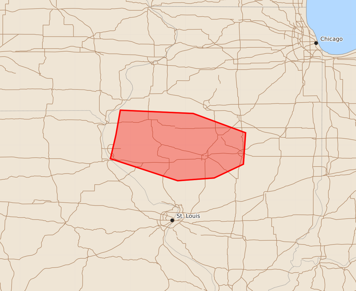
Summary
Locally damaging wind gusts of 55 to 70 mph are possible across west-central and central Illinois through the early afternoon.
Product Text
000 ACUS11 KWNS 161713 SWOMCD SPC MCD 161712 ILZ000-MOZ000-161845- Mesoscale Discussion 1996 NWS Storm Prediction Center Norman OK 1212 PM CDT Sun Aug 16 2026 Areas affected...west-central into central Illinois Concerning...Severe potential...Watch unlikely Valid 161712Z - 161845Z Probability of Watch Issuance...20 percent SUMMARY...Locally damaging wind gusts are possible for the next 1-2 hours. A watch is not currently anticipated due to the limited areal coverage. DISCUSSION...A thunderstorm has recently intensified over Pike County, IL, on the southern flank of a long-lived convective system. Latest objective analysis suggests that a narrow corridor of moderate instability (MLCAPE of 1500-2000 J/kg) has developed immediately ahead of the storm. However, earlier storms in the St. Louis vicinity have at least temporarily stabilized the air mass from east-central MO into southwest IL, which may limit a longer-duration severe weather threat with the above-mentioned storm. As such, a watch is not currently expected. However, KLSX does show some base velocity enhancement, suggesting the potential for locally damaging wind gusts in the near term. ..Mead/Guyer.. 08/16/2026 ...Please see www.spc.noaa.gov for graphic product... ATTN...WFO...ILX...LSX...DVN... LAT...LON 40189126 40639118 40578986 40228891 39658895 39408948 39359014 39759136 40189126 MOST PROBABLE PEAK WIND GUST...55-70 MPH