Mesoscale Discussion 2156
Issued: · Valid: –
Summary
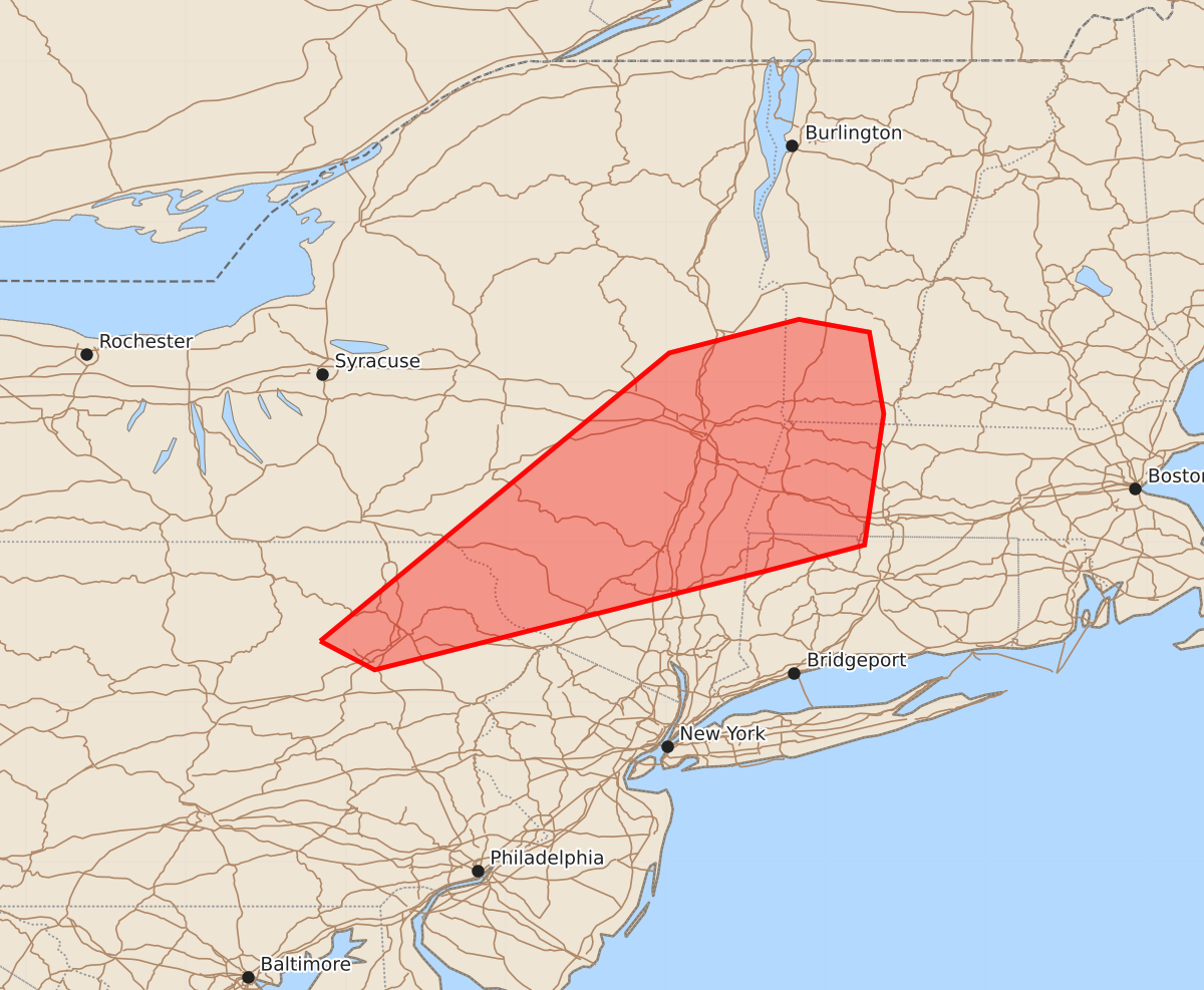
Isolated damaging winds and a brief tornado threat are expected across the Hudson Valley into parts of southern New England through the early evening. Storms will gradually weaken as they move east.
Product Text
000 ACUS11 KWNS 272306 SWOMCD SPC MCD 272306 MAZ000-VTZ000-CTZ000-NYZ000-PAZ000-280030- Mesoscale Discussion 2156 NWS Storm Prediction Center Norman OK 0606 PM CDT Thu Aug 27 2026 Areas affected...Hudson Valley into parts of southern New England Concerning...Severe Thunderstorm Watch 631... Valid 272306Z - 280030Z The severe weather threat for Severe Thunderstorm Watch 631 continues. SUMMARY...Isolated damaging winds and a conditional brief tornado threat will continue into early evening. Storms will gradually weaken east of the Hudson Valley. No additional watches are expected. DISCUSSION...Over the last 2 hours, marginal supercell structures have generally evolved into small linear segments. The impacts of a less unstable airmass to the east and outflow from the south have likely contributed to a modest decrease in storm organization. The strongest activity in the Hudson Valley vicinity will still be capable of isolated wind damage into early evening. A brief tornado remains possible given some SRH enhancement on the KENX VAD, though low-level thermodynamics have limited mesocyclone intensity late this afternoon. With time, a gradual weakening trends is likely to be observed as storms move into southern New England. Additional watches are not expected this evening. ..Wendt.. 08/27/2026 ...Please see www.spc.noaa.gov for graphic product... ATTN...WFO...BOX...BTV...OKX...ALY...BGM... LAT...LON 41387616 43187398 43397317 43317273 42807264 41987276 41837333 41207582 41387616 MOST PROBABLE PEAK TORNADO INTENSITY...UP TO 90 MPH MOST PROBABLE PEAK WIND GUST...UP TO 60 MPH