Mesoscale Discussion 1448
Issued: · Valid: –
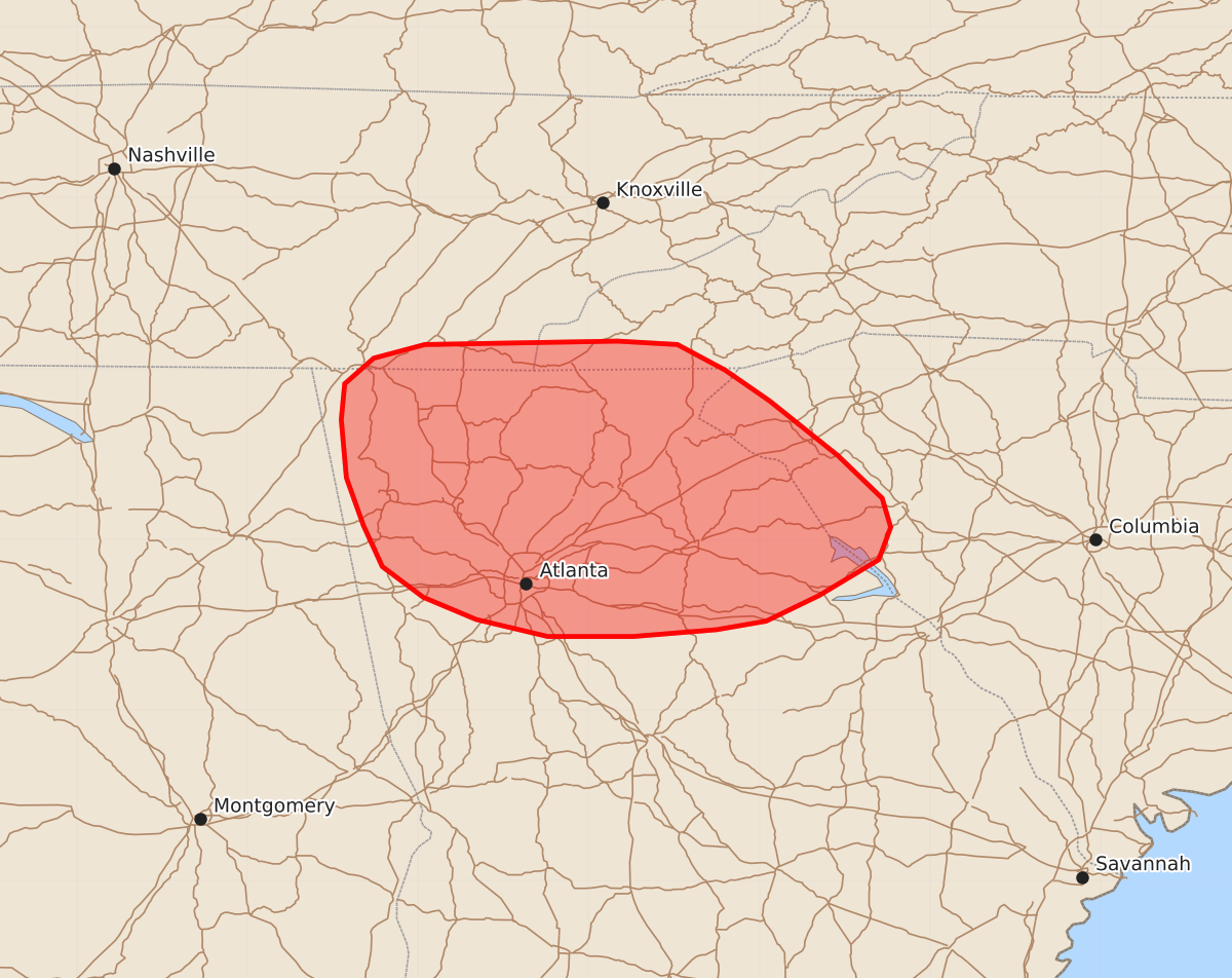
Summary
Strong to severe downburst winds with gusts of 55 to 70 mph may develop across northern Georgia this evening.
Product Text
000 ACUS11 KWNS 022206 SWOMCD SPC MCD 022205 SCZ000-GAZ000-NCZ000-TNZ000-030000- Mesoscale Discussion 1448 NWS Storm Prediction Center Norman OK 0505 PM CDT Thu Jul 02 2026 Areas affected...Northern Georgia Concerning...Severe potential...Watch possible Valid 022205Z - 030000Z Probability of Watch Issuance...40 percent SUMMARY...The potential for strong to severe downburst winds may increase over the next couple of hours if storm clustering can occur. While confidence is limited, watch issuance may be needed. DISCUSSION...Over the past half hour, GOES imagery has depicted an uptick in cumulus depth and intensity of ongoing convection across northern GA and adjacent portions of NC and SC. Some of this activity appears to be driven by residual outflow from prior convection, hinting that low-level forcing for ascent may be sufficient for further intensification as storms move further into northern GA. Here, temperatures have warmed into the mid/upper 90s with dewpoint depressions generally around 20-25 F and low-level lapse rates between 8 to 8.5 C/km. This environment is very favorable for intense downbursts capable of producing strong/severe wind gusts. The potential for such winds may increase as storms continue to propagate west/southwest into this environment. The wind threat may become somewhat more widespread if clustering can occur, which may necessitate watch issuance. However, given the relatively late onset of deeper convection in the diurnal heating cycle, it remains somewhat unclear how prolonged/prolific the wind threat will be. Nonetheless, trends will continue to be monitored. ..Moore/Guyer.. 07/02/2026 ...Please see www.spc.noaa.gov for graphic product... ATTN...WFO...CAE...GSP...MRX...FFC... LAT...LON 34818294 34498254 34248228 34078223 33888230 33678265 33528296 33478325 33438374 33438424 33538466 33668497 33848521 34088532 34368542 34708545 34918543 35068526 35148496 35168383 35148348 34998320 34818294 MOST PROBABLE PEAK WIND GUST...55-70 MPH MOST PROBABLE PEAK HAIL SIZE...UP TO 1.25 IN