Mesoscale Discussion 1367
Issued: · Valid: –
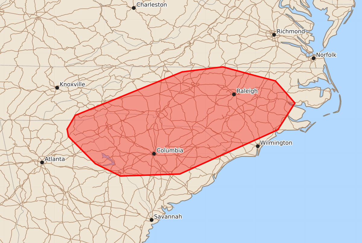
Summary
Sporadic damaging wind gusts of 55 to 70 mph are possible across portions of the Carolinas and far eastern Georgia this afternoon.
Product Text
000 ACUS11 KWNS 281851 SWOMCD SPC MCD 281850 NCZ000-SCZ000-VAZ000-GAZ000-282045- Mesoscale Discussion 1367 NWS Storm Prediction Center Norman OK 0150 PM CDT Sun Jun 28 2026 Areas affected...portions of the Carolinas and far eastern Georgia Concerning...Severe potential...Watch unlikely Valid 281850Z - 282045Z Probability of Watch Issuance...20 percent SUMMARY...A few damaging gusts are possible this afternoon across portions of the Carolinas and far eastern Georgia. A watch is not anticipated, though trends will be monitored. DISCUSSION...A subtle mid-level wave is traversing generally weak west-northwesterly flow across the southern Appalachians, leading to a weak surface low pressure in central North Carolina. These are serving as focuses for thunderstorm development this afternoon across the Carolinas. Ahead of these storms, a very deep, moist air mass is in place, with precipitable water values near or above 2 in across the region, and this may contribute to a threat for damaging gusts this afternoon due to water-loading in downdrafts. However, generally westerly surface winds should result in weak convergence and weak shear, leading to poorly-organized convection. As such, damaging gusts are currently expected to remain too sporadic to justify a watch, though trends will be monitored. ..Supinie/Guyer.. 06/28/2026 ...Please see www.spc.noaa.gov for graphic product... ATTN...WFO...AKQ...MHX...RAH...ILM...RNK...CHS...CAE...GSP... FFC... LAT...LON 35148338 36448019 36597898 36337802 36177741 35517683 34717734 33398026 33338203 33708278 34518358 34738362 35148338 MOST PROBABLE PEAK WIND GUST...55-70 MPH