Mesoscale Discussion 1199
Issued: · Valid: –
Summary
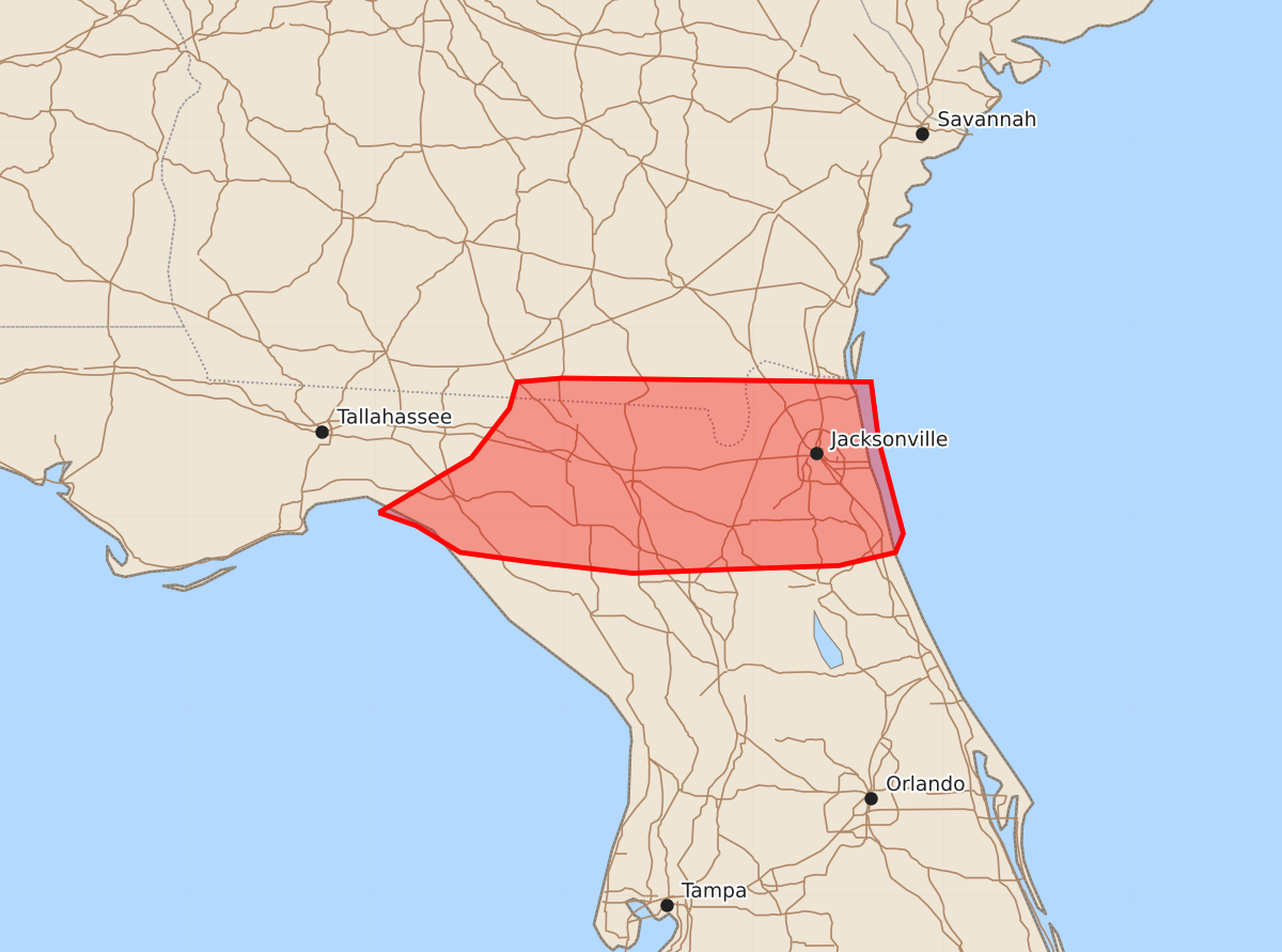
Localized clusters of thunderstorms may produce damaging wind gusts of 35 to 60 mph across northern Florida and extreme southeast Georgia this afternoon.
Product Text
000 ACUS11 KWNS 191736 SWOMCD SPC MCD 191736 FLZ000-GAZ000-191900- Mesoscale Discussion 1199 NWS Storm Prediction Center Norman OK 1236 PM CDT Fri Jun 19 2026 Areas affected...Northern Florida and extreme southeast Georgia Concerning...Severe potential...Watch unlikely Valid 191736Z - 191900Z Probability of Watch Issuance...5 percent SUMMARY...A localized corridor of damaging wind potential is emerging across northern Florida and far southeast Georgia. Watch issuance is not expected. DISCUSSION...Over the past 30 minutes, a cluster of thunderstorms east of the KTLH radar has developed a consolidated cold pool per regional velocity imagery. This is likely the result of rapid updraft collapse based on latest KDP trends; however, latest IR imagery shows renewed development on the outflow boundary, suggesting that cold-pool driven propagation may continue for the short term. The poor shear environment (per regional VWPs) will likely limit the overall intensity and duration of this convection, but given downstream warming (temperatures climbing into the low 90s, a few degrees ahead of morning guidance) and steepening of low-level lapse rates, embedded bursts of damaging winds (most likely 35-55 mph, but potentially as strong as 60 mph) seem possible. While damaging wind potential appears highest with the eastward propagating cluster, a few clusters along the FL/GA border north of the Jacksonville, FL area are similarly propagating into the warming air mass across northern FL. More isolated downbursts appear possible with this activity additional convection develops along the outflow boundaries over the next couple of hours. ..Moore/Hart.. 06/19/2026 ...Please see www.spc.noaa.gov for graphic product... ATTN...WFO...JAX...TAE... LAT...LON 30028398 30318349 30578329 30718325 30738301 30718138 30408134 29918121 29818125 29748155 29728214 29708264 29768318 29818355 29958378 30028398 MOST PROBABLE PEAK WIND GUST...UP TO 60 MPH