Mesoscale Discussion 1974
Issued: · Valid: –
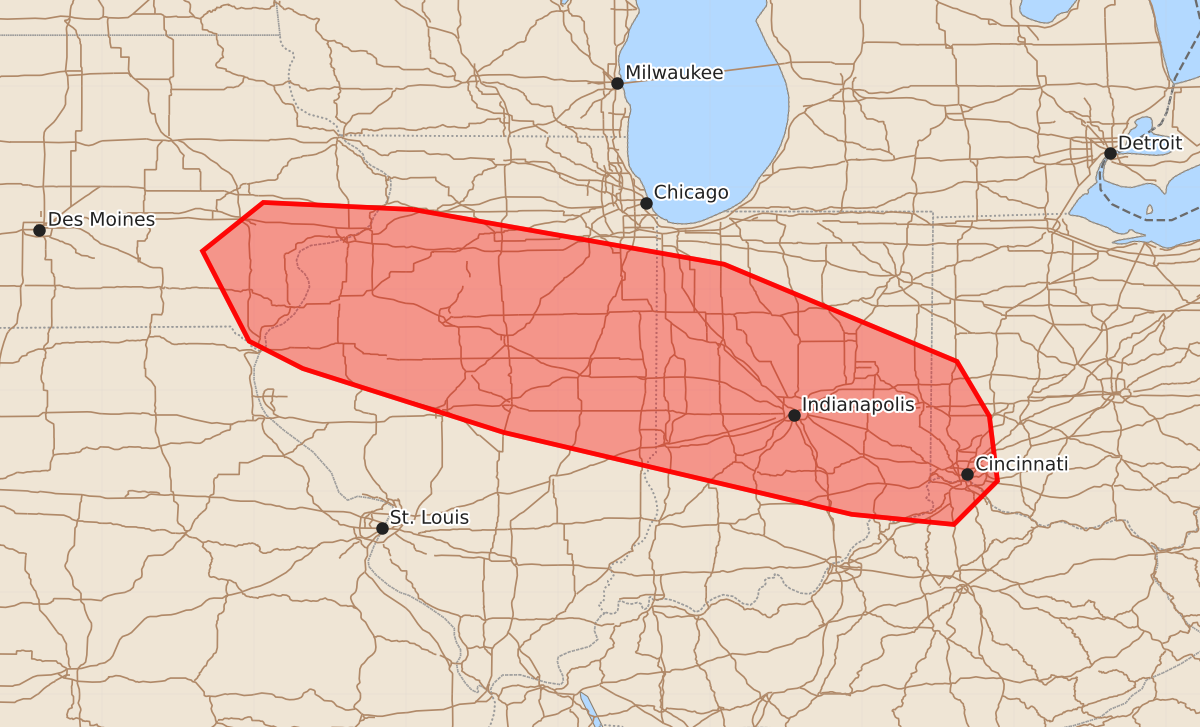
Summary
Occasional stronger thunderstorms may produce small hail and gusty winds across eastern Iowa, northern and central Illinois, and central Indiana overnight.
Product Text
000 ACUS11 KWNS 140404 SWOMCD SPC MCD 140403 OHZ000-KYZ000-INZ000-ILZ000-IAZ000-140600- Mesoscale Discussion 1974 NWS Storm Prediction Center Norman OK 1103 PM CDT Thu Aug 13 2026 Areas affected...eastern Iowa...northern/central Illinois...and central Indiana Concerning...Severe potential...Watch possible Valid 140403Z - 140600Z Probability of Watch Issuance...40 percent SUMMARY...Occasional stronger storms may produce small hail and gusty winds overnight. DISCUSSION...Thunderstorm activity is increasing within the warm advection regime across portions of eastern Iowa into northern Illinois/Indiana. This activity is ongoing north of a surface front extending from the central Plains across southern Illinois into southern Illinois/northern Kentucky. The air mass near the ongoing convection is only marginally unstable located on the northern fringes of more moderate to strong instability further south across southern Illinois into portions of southern Indiana/northern Kentucky. Forecast soundings suggest the presence of a fairly strong cap at the base of the EML across much of the region of greater buoyancy, which will likely inhibit surface based convection. Generally boundary parallel flow will likely produce training storms overnight, with little organized severe potential. Later into the overnight/early morning, the low-level jet will increase into Illinois/Indiana. Should a cluster be able to develop and drop southward, there could be some damaging wind potential into the morning. A few instances of gusty winds and small hail will be possible with stronger cores. For now, confidence in a more organized severe risk remains low but trends will be monitored overnight. ..Thornton/Hart.. 08/14/2026 ...Please see www.spc.noaa.gov for graphic product... ATTN...WFO...ILN...LMK...IWX...IND...LOT...ILX...LSX...DVN... LAT...LON 41788993 41859141 41379201 40489155 40219102 39588904 38778560 38678459 39108416 39748424 40288456 41248686 41638908 41788993 MOST PROBABLE PEAK WIND GUST...UP TO 60 MPH MOST PROBABLE PEAK HAIL SIZE...UP TO 1.25 IN