Mesoscale Discussion 2285
Issued: · Valid: –
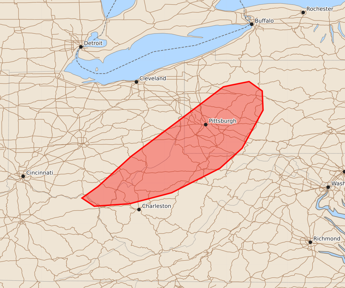
Summary
Isolated wind damage is possible across the upper Ohio Valley this afternoon from strongest thunderstorms.
Product Text
000 ACUS11 KWNS 121823 SWOMCD SPC MCD 121822 PAZ000-MDZ000-WVZ000-OHZ000-KYZ000-122015- Mesoscale Discussion 2285 NWS Storm Prediction Center Norman OK 0122 PM CDT Sat Sep 12 2026 Areas affected...Upper Ohio Valley Concerning...Severe potential...Watch unlikely Valid 121822Z - 122015Z Probability of Watch Issuance...20 percent SUMMARY...Isolated wind damage will be possible with the strongest storms this afternoon. A watch is not expected. DISCUSSION...A weak surface reflection of a de-amplifying upper trough is evident in far eastern Indiana into central Ohio. Ahead of this feature, thunderstorm coverage is increasing within a pocket of stronger surface heating across the upper Ohio Valley. A recent TAMDAR sounding from PIT showed weak mid-level lapse rates but steepening low-level lapse rates. As storms steadily deepen/intensify, wind damage will be possible with the strongest storms. Given the weak large-scale features and mid-level lapse rates, overall severe potential is expected to remain isolated/marginal. ..Wendt/Guyer.. 09/12/2026 ...Please see www.spc.noaa.gov for graphic product... ATTN...WFO...CTP...LWX...PBZ...RLX...ILN... LAT...LON 38498186 38438272 38638302 38918263 39658182 40538065 41357957 41397939 41487894 41257862 40787860 39857911 39367965 38768083 38498186