Mesoscale Discussion 1777
Issued: · Valid: –
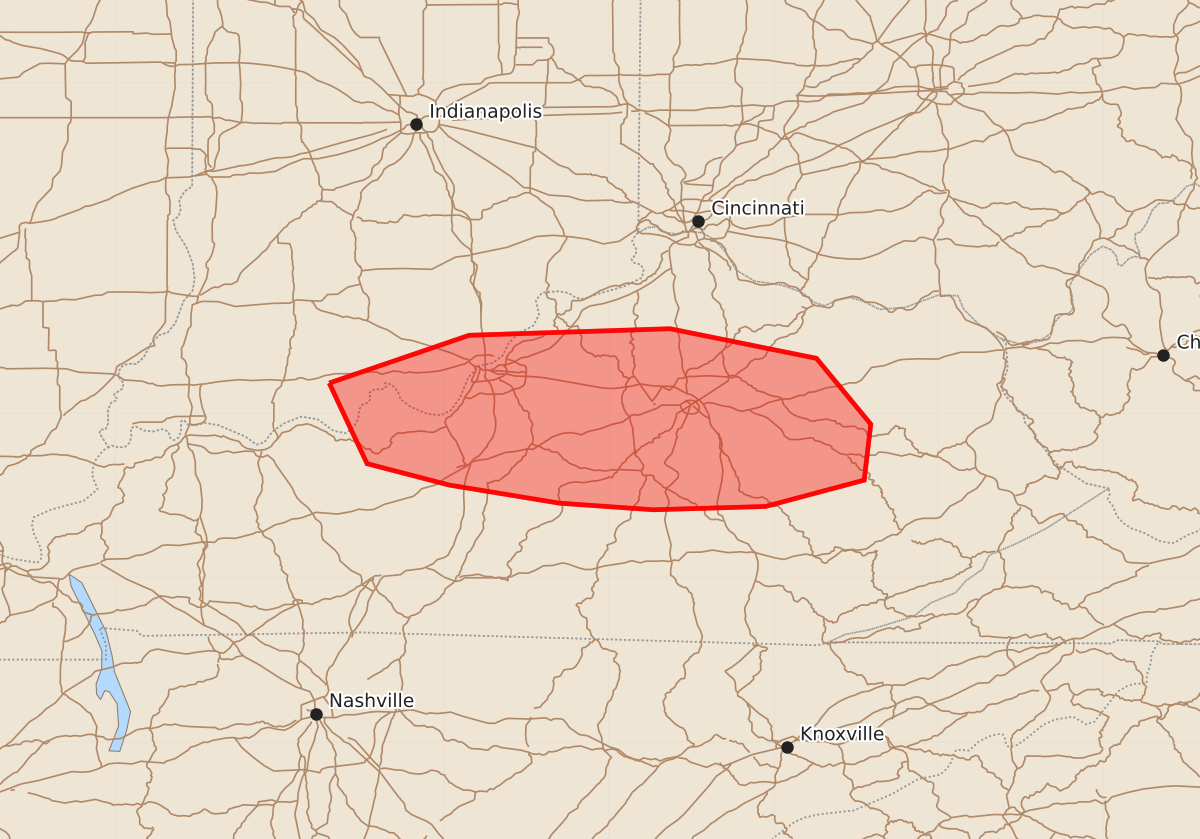
Summary
Severe thunderstorms capable of producing damaging wind gusts of 55 to 70 mph are expected to affect portions of southern Indiana and central to eastern Kentucky through early this morning.
Product Text
000 ACUS11 KWNS 280130 SWOMCD SPC MCD 280129 KYZ000-INZ000-280230- Mesoscale Discussion 1777 NWS Storm Prediction Center Norman OK 0829 PM CDT Mon Jul 27 2026 Areas affected...portions of extreme southern Indiana into central and eastern Kentucky Concerning...Severe Thunderstorm Watch 523... Valid 280129Z - 280230Z The severe weather threat for Severe Thunderstorm Watch 523 continues. SUMMARY...A few damaging gusts may still occur with the stronger storms before nocturnal cooling begins to limit the severe threat. DISCUSSION...A loosely organized MCS, with a recent history of producing a few damaging gusts, continues to track southward. While nocturnal cooling will begin to stabilize the boundary layer and limit the efficiency of downward momentum transport, surface temperatures remain in the low 80s F just ahead of the storms. As such, a few more damaging gusts are possible, at least in the next 1-2 hours. ..Squitieri.. 07/28/2026 ...Please see www.spc.noaa.gov for graphic product... ATTN...WFO...JKL...ILN...LMK... LAT...LON 38188670 38478585 38518463 38338374 37938341 37598345 37438405 37418473 37458530 37568597 37698647 38188670 MOST PROBABLE PEAK WIND GUST...55-70 MPH