Mesoscale Discussion 1854
Issued: · Valid: –
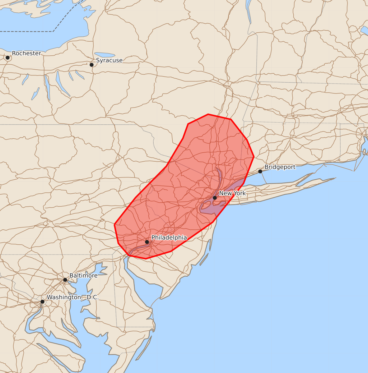
Summary
Scattered damaging wind gusts are expected to move through parts of eastern Pennsylvania, northern and central New Jersey, southeastern New York, and far western Connecticut this afternoon. These severe thunderstorms may produce wind gusts between 55 and 70 mph through approximately 6:00 PM.
Product Text
000 ACUS11 KWNS 072005 SWOMCD SPC MCD 072004 CTZ000-NYZ000-NJZ000-PAZ000-DEZ000-072200- Mesoscale Discussion 1854 NWS Storm Prediction Center Norman OK 0304 PM CDT Fri Aug 07 2026 Areas affected...Parts of eastern PA...northern/central NJ...southeastern NY...and far western CT Concerning...Severe Thunderstorm Watch 540... Valid 072004Z - 072200Z The severe weather threat for Severe Thunderstorm Watch 540 continues. SUMMARY...The risk of scattered damaging wind gusts will continue spreading east-northeastward across parts of Severe Thunderstorm Watch 540. DISCUSSION...A loosely organized band of thunderstorms is advancing east-northeastward across eastern PA and southeastern NY this afternoon, where there have been several reports of wind damage. This activity will continue spreading east-northeastward into an increasingly warm/unstable PBL (lower 90s temperatures amid lower/middle 70s dewpoints). Steepened low-level lapse rates and the well-established/strengthening cold pools will promote an increasing risk of scattered damaging wind gusts over the next few hours. To the north of Severe Thunderstorm Watch 540 in southeastern NY, a narrow spatial overlap of sufficient/modest destabilization and midlevel height falls will support a localized risk for damaging thunderstorm wind gusts through the afternoon. A downstream watch is not currently expected. ..Weinman.. 08/07/2026 ...Please see www.spc.noaa.gov for graphic product... ATTN...WFO...OKX...ALY...PHI...BGM... LAT...LON 40257575 40727538 41277484 41767455 42017446 42187411 42097371 41737343 41447331 40977349 40297403 39787476 39657520 39717550 39927568 40257575 MOST PROBABLE PEAK WIND GUST...55-70 MPH MOST PROBABLE PEAK HAIL SIZE...UP TO 1.25 IN