Watch 625 Outline
Issued:
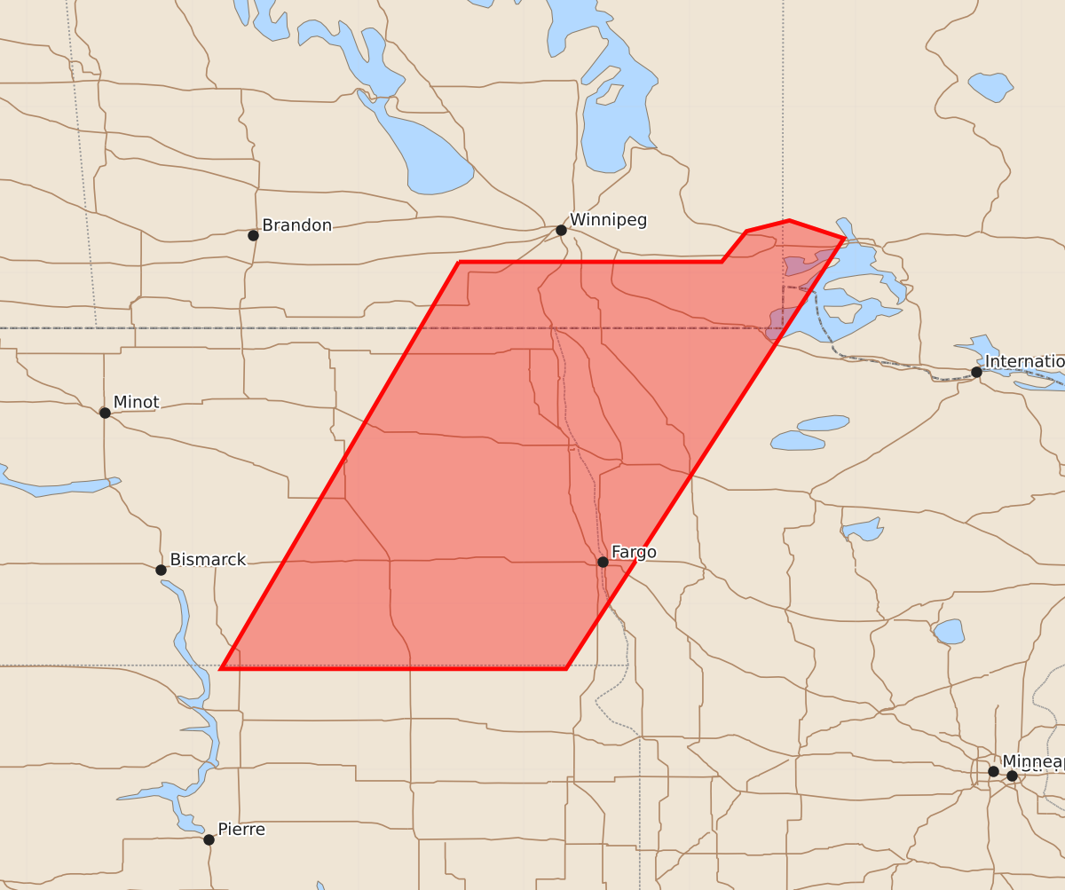
Summary
A severe thunderstorm watch is in effect for parts of eastern North Dakota and western Minnesota through 1:00 AM local time. Expected hazards include up to 2-inch hail and 65-knot wind gusts.
Product Text
000 WWUS30 KWNS 242252 SAW5 SPC AWW 242252 WW 625 SEVERE TSTM MN ND 242255Z - 250600Z AXIS..75 STATUTE MILES EAST AND WEST OF LINE.. 20NNE HCO/HALLOCK MN/ - 70S JMS/JAMESTOWN ND/ ..AVIATION COORDS.. 65NM E/W /56SSE YWG - 33NNW ABR/ HAIL SURFACE AND ALOFT..2 INCHES. WIND GUSTS..65 KNOTS. MAX TOPS TO 550. MEAN STORM MOTION VECTOR 30025. LAT...LON 49019512 45919712 45910024 49019843 THIS IS AN APPROXIMATION TO THE WATCH AREA. FOR A COMPLETE DEPICTION OF THE WATCH SEE WOUS64 KWNS FOR WOU5.