Watch 461 Outline
Issued:
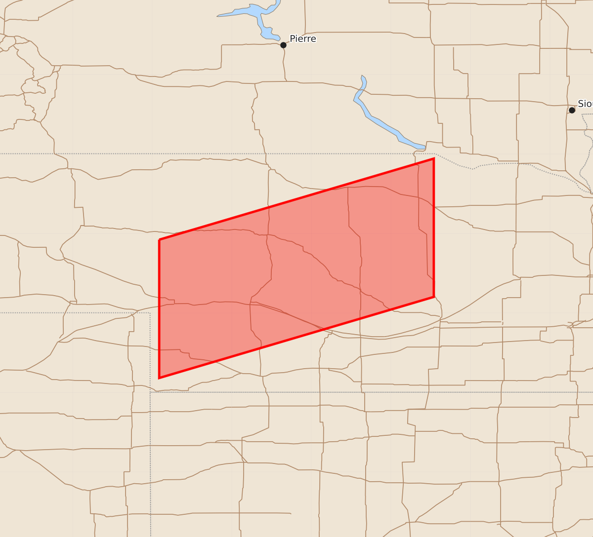
Summary
A severe thunderstorm watch is in effect for parts of central and eastern Nebraska from late evening through early morning, featuring the potential for 2.5-inch hail and 60-knot wind gusts.
Product Text
000 WWUS30 KWNS 042151 SAW1 SPC AWW 042151 WW 461 SEVERE TSTM NE 042155Z - 050400Z AXIS..60 STATUTE MILES NORTH AND SOUTH OF LINE.. 40NNW IML/IMPERIAL NE/ - 30SSE ONL/ONEILL NE/ ..AVIATION COORDS.. 50NM N/S /48E SNY - 26SSE ONL/ HAIL SURFACE AND ALOFT..2.5 INCHES. WIND GUSTS..60 KNOTS. MAX TOPS TO 500. MEAN STORM MOTION VECTOR 30020. LAT...LON 41920191 42949846 41209846 40180191 THIS IS AN APPROXIMATION TO THE WATCH AREA. FOR A COMPLETE DEPICTION OF THE WATCH SEE WOUS64 KWNS FOR WOU1.