Mesoscale Discussion 1419
Issued: · Valid: –
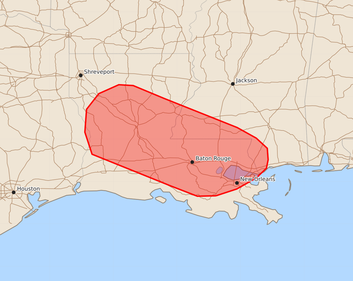
Summary
Scattered thunderstorms across parts of the lower Mississippi Valley may produce strong to severe downburst winds of up to 60 mph through late afternoon.
Product Text
000 ACUS11 KWNS 011822 SWOMCD SPC MCD 011822 LAZ000-MSZ000-TXZ000-012015- Mesoscale Discussion 1419 NWS Storm Prediction Center Norman OK 0122 PM CDT Wed Jul 01 2026 Areas affected...Parts of the lower Mississippi Valley Concerning...Severe potential...Watch unlikely Valid 011822Z - 012015Z Probability of Watch Issuance...20 percent SUMMARY...Thunderstorms developing in proximity to a residual frontal zone and/or along outflow boundaries will be capable of producing strong to severe downburst winds. This threat will most likely remain sufficiently isolated to preclude watch issuance. DISCUSSION...Sporadic downbursts are evident in KPOE and KHDC velocity imagery as scattered, but poorly organized convection continues to develop along a residual frontal zone and along outflow boundaries across the lower MS Valley region. With time, this activity is forecast to spread north where temperatures are quickly warming into the 90s within a very moist air mass. The combination of steepening low-level lapse rates, high moisture content, and increasing buoyancy through late afternoon should maintain, if not increase, the potential for robust wet downbursts. Localized swaths of strong to severe winds (most likely 40-60 mph) appear possible with the more intense downbursts. Given the alignment of the predominantly zonally-oriented initiation zone with the weak easterly mid-level flow aloft, the potential for organized propagating clusters appears limited, which should preclude a more widespread severe wind threat and the need for watch issuance for LA and far southern MS. Nonetheless, the potential for severe downbursts should increase through peak heating. ..Moore/Guyer.. 07/01/2026 ...Please see www.spc.noaa.gov for graphic product... ATTN...WFO...JAN...LIX...LCH...SHV... LAT...LON 29669058 29659102 29899164 30649350 31169367 31709363 32079334 32289287 32269253 31969181 31279008 31028963 30788937 30518935 30318939 30088963 29829009 29669058 MOST PROBABLE PEAK WIND GUST...UP TO 60 MPH