Mesoscale Discussion 1945
Issued: · Valid: –
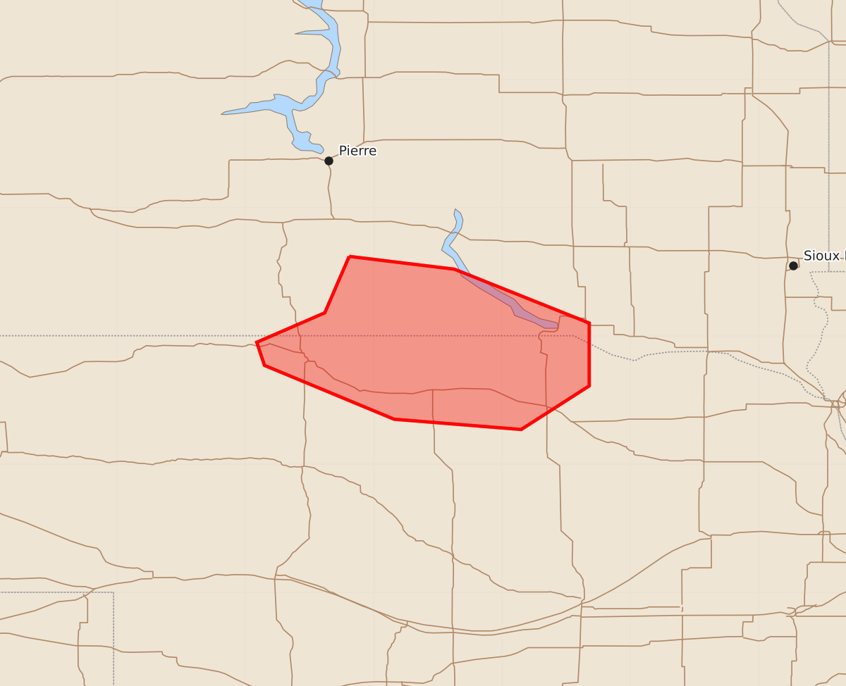
Summary
Severe thunderstorms capable of producing wind gusts between 85 and 100 mph are expected to move through northern Nebraska and southern South Dakota until approximately 3:00 AM CDT.
Product Text
000 ACUS11 KWNS 120602 SWOMCD SPC MCD 120602 SDZ000-NEZ000-120730- Mesoscale Discussion 1945 NWS Storm Prediction Center Norman OK 0102 AM CDT Wed Aug 12 2026 Areas affected...northern NE and southern SD Concerning...Severe Thunderstorm Watch 572... Valid 120602Z - 120730Z The severe weather threat for Severe Thunderstorm Watch 572 continues. SUMMARY...A maturing bow will continue to yield a risk for higher-end wind potential over the next 1-2 hours as it moves into northern portions of NE. DISCUSSION...Latest radar imagery from KFSD/KUDX shows a potent cluster evolving into a maturing bow along the NE/SD border with echo tops increasing in the past 30 minutes to 60 kft. The airmass remains very unstable per RAP forecast soundings (around 4000 J/kg MUCAPE) with modest lower to mid-level flow (20-25 kt) increasing to 60 kt around 250 mb. This thermodynamic/kinematic environment will continue to strongly favor severe gusts and a continuation of the mature phase of the bow echo through at least 2-3am CDT. Recently measured gusts in the 90-95 mph range in southern SD are indicative of the higher-end wind potential. ..Smith.. 08/12/2026 ...Please see www.spc.noaa.gov for graphic product... ATTN...WFO...FSD...ABR...LBF...UNR... LAT...LON 43620019 43529937 43109832 42619832 42279885 42359984 42770085 42950091 43180038 43620019 MOST PROBABLE PEAK WIND GUST...85-100 MPH