Mesoscale Discussion 1739
Issued: · Valid: –
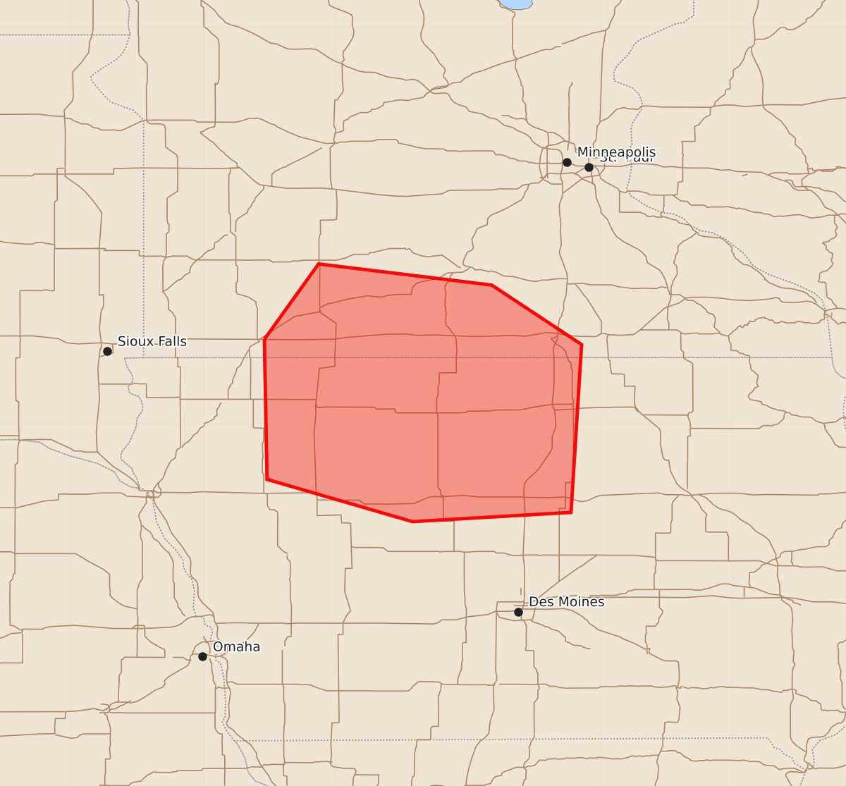
Summary
Strong wind gusts and isolated large hail are expected across south-central Minnesota and north-central Iowa through early morning hours on July 26. The severe weather threat includes wind gusts of 55 to 70 mph and hail up to 1.75 inches.
Product Text
000 ACUS11 KWNS 260401 SWOMCD SPC MCD 260400 IAZ000-MNZ000-260600- Mesoscale Discussion 1739 NWS Storm Prediction Center Norman OK 1100 PM CDT Sat Jul 25 2026 Areas affected...South-Central MN...North-Central IA Concerning...Severe Thunderstorm Watch 515... Valid 260400Z - 260600Z The severe weather threat for Severe Thunderstorm Watch 515 continues. SUMMARY...Threat for strong gusts and isolated large hail remains across south-central Minnesota and north-central Iowa. DISCUSSION...Ongoing MCS has decayed significantly over the past hour, with the gust front now well ahead of the main body of precipitation. The gust front is likely deep enough to force new development, which appears to be occurring across Cottonwood County MN as well as Buena Vista County IA. Redevelopment along the gust front will allow for continued eastward/southeastward progression of the front, although it will likely slow over time as its depth and the strength of convection along it both decrease. Strong gusts will remain the primary threat. Steep mid-level lapse rates and strong vertical shear could also support some isolated large hail within any redevelopment along the front. ..Mosier.. 07/26/2026 ...Please see www.spc.noaa.gov for graphic product... ATTN...WFO...MPX...DMX...FSD... LAT...LON 43649554 44219513 44059382 43609314 42339322 42269442 42589552 43649554 MOST PROBABLE PEAK WIND GUST...55-70 MPH MOST PROBABLE PEAK HAIL SIZE...1.00-1.75 IN