Mesoscale Discussion 1036
Issued: · Valid: –
Summary
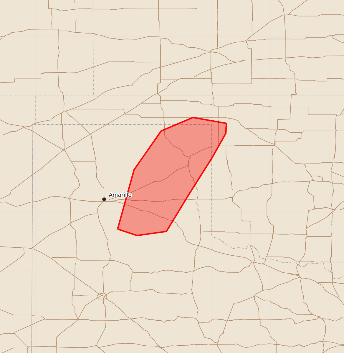
Isolated severe thunderstorms capable of producing large hail, damaging wind gusts, and brief tornadoes are expected across the eastern Texas Panhandle and far northwestern Oklahoma this evening.
Product Text
000 ACUS11 KWNS 082342 SWOMCD SPC MCD 082341 OKZ000-TXZ000-090145- Mesoscale Discussion 1036 NWS Storm Prediction Center Norman OK 0641 PM CDT Mon Jun 08 2026 Areas affected...the eastern Texas Panhandle amd far northwestern Oklahoma Concerning...Severe potential...Watch unlikely Valid 082341Z - 090145Z Probability of Watch Issuance...20 percent SUMMARY...Isolated severe storms will likely pose a threat for hail, damaging gusts and a brief tornado this evening. DISCUSSION...As of 2330 UTC, regional radar analysis showed two stronger thunderstorms have matured along the dryline across the eastern TX Panhandle. While vertical shear is rather modest, very hot surface temperatures over 100 F and 60s F surface dewpoints are supporting moderate instability with these supercells. Isolated large hail is possible for the next couple of hours given the steep lapse rates and buoyancy, along with the potential for damaging winds with T/TD spreads of 40 degrees F. Recent reports of a landspout also suggests a tornado is possible, especially in Lipscomb County, TX where back building along the dryline/boundary with enhanced vertical vorticity has been noted. Weak steering flow and modest storm motions should keep the severe threat fairly isolated. Inhibition is also forecast to increase rapidly with the loss of diurnal heating this evening. This suggests a WW is not needed, though trends will continue to be monitored. ..Lyons/Gleason.. 06/08/2026 ...Please see www.spc.noaa.gov for graphic product... ATTN...WFO...OUN...LUB...AMA... LAT...LON 34720160 35730132 36390086 36620032 36529975 36359976 35949999 35290040 34680077 34610127 34720160 MOST PROBABLE PEAK TORNADO INTENSITY...UP TO 90 MPH MOST PROBABLE PEAK WIND GUST...55-70 MPH MOST PROBABLE PEAK HAIL SIZE...1.50-2.50 IN