Mesoscale Discussion 1283
Issued: · Valid: –
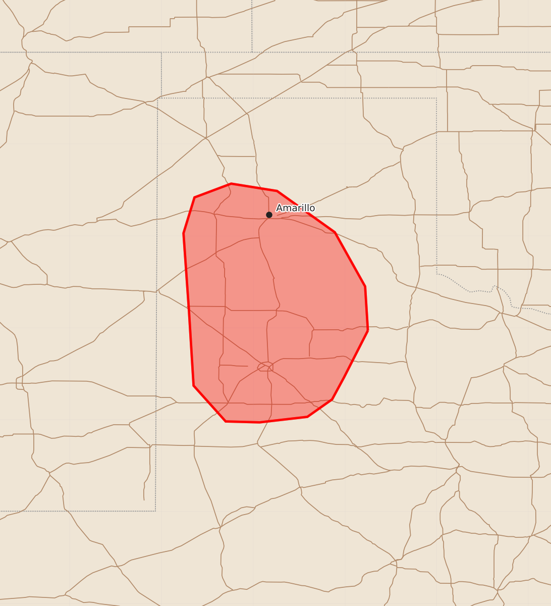
Summary
Severe thunderstorms capable of producing large hail and damaging winds are expected across portions of the Texas Panhandle and South Plains through the evening. Potential hazards include wind gusts exceeding 75 mph and hail larger than two inches in diameter.
Product Text
000 ACUS11 KWNS 232331 SWOMCD SPC MCD 232331 TXZ000-240030- Mesoscale Discussion 1283 NWS Storm Prediction Center Norman OK 0631 PM CDT Tue Jun 23 2026 Areas affected...portions of the Texas Panhandle and South Plains Concerning...Severe Thunderstorm Watch 383... Valid 232331Z - 240030Z The severe weather threat for Severe Thunderstorm Watch 383 continues. SUMMARY...Severe wind and hail (including 2+ inch diameter and 75+ mph gusts) will remain possible with the stronger, longer-lived storms over the next few hours. DISCUSSION...Multiple splitting and right-moving supercells have developed along a convective outflow boundary across the TX Panhandle over the past couple of hours. These storms have been accompanied by up to baseball sized hail per reports and MRMS mosaic MESH data. With over 3000 J/kg MLCAPE and 60+ kts of effective bulk shear present, supercells that remain discrete should continue to produce severe hail (some stones exceeding 2 inches in diameter) over the next few hours. A few severe gusts may also occur, especially where cold-pool mergers may take place. ..Squitieri.. 06/23/2026 ...Please see www.spc.noaa.gov for graphic product... ATTN...WFO...LUB...AMA... LAT...LON 33970075 33460101 33220114 33030141 32970193 32980230 33370265 34180270 35030276 35420264 35570224 35490174 35040111 34450078 33970075 MOST PROBABLE PEAK TORNADO INTENSITY...UP TO 90 MPH MOST PROBABLE PEAK WIND GUST...65-80 MPH MOST PROBABLE PEAK HAIL SIZE...2.00-3.50 IN