Mesoscale Discussion 1308
Issued: · Valid: –
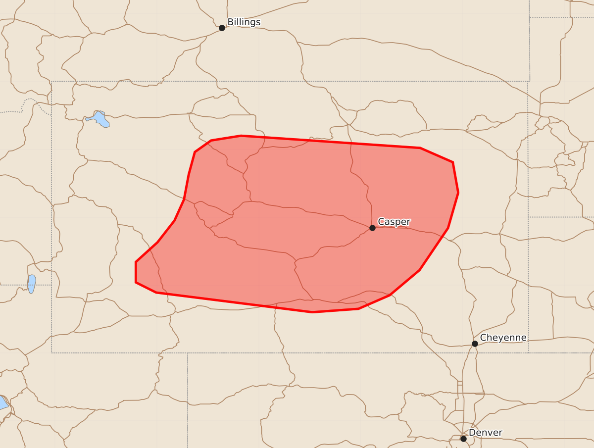
Summary
Severe thunderstorms with the potential for wind gusts between 60 and 75 mph are expected to increase across central Wyoming through the afternoon.
Product Text
000 ACUS11 KWNS 251713 SWOMCD SPC MCD 251713 WYZ000-251915- Mesoscale Discussion 1308 NWS Storm Prediction Center Norman OK 1213 PM CDT Thu Jun 25 2026 Areas affected...Central Wyoming Concerning...Severe potential...Watch possible Valid 251713Z - 251915Z Probability of Watch Issuance...60 percent SUMMARY...The potential for severe winds is expected to increase through the afternoon across central Wyoming. Watch issuance may be needed as thunderstorms begin to intensify. DISCUSSION...A band of weak convection has shown signs of gradual intensification (per GOES IR imagery) across west-central WY over the past few hours ahead of an approaching upper wave. Weak buoyancy depicted in recent RAP mesoanalysis has modulated overall convective intensity so far; however, clearing is noted immediately downstream in central WY. Through mid-afternoon, mixed-layer buoyancy should steadily increase ahead of the convective band as temperatures warm into the low to mid 70s within a moist air mass. This will most likely result in further intensification of the line, especially as convection begins to be influenced by 30-35 knots of deep-layer wind shear overspreading the region (35-40 knot mid-level flow is noted in upstream VWPs). Consequently, an uptick in severe wind potential is expected. Gusts will most likely remain in the 60-70 mph range, but occasional gusts as strong as 75 mph appear possible based on more aggressive CAM solutions. Although clearing is noted immediately downstream of the band, persistent showers and clouds lingering further downstream across southeast WY may limit the overall coverage of the severe wind threat. Trends will be monitored and watch issuance may be needed in the coming hours as the band intensifies. ..Moore/Guyer.. 06/25/2026 ...Please see www.spc.noaa.gov for graphic product... ATTN...WFO...UNR...CYS...RIW... LAT...LON 41600721 41890951 42040981 42340981 42630949 42950924 43260910 43630903 43960894 44130870 44200826 44020562 43810514 43360506 42840521 42220563 41850607 41650653 41600721 MOST PROBABLE PEAK WIND GUST...55-70 MPH MOST PROBABLE PEAK HAIL SIZE...UP TO 1.25 IN