Mesoscale Discussion 1750
Issued: · Valid: –
Summary
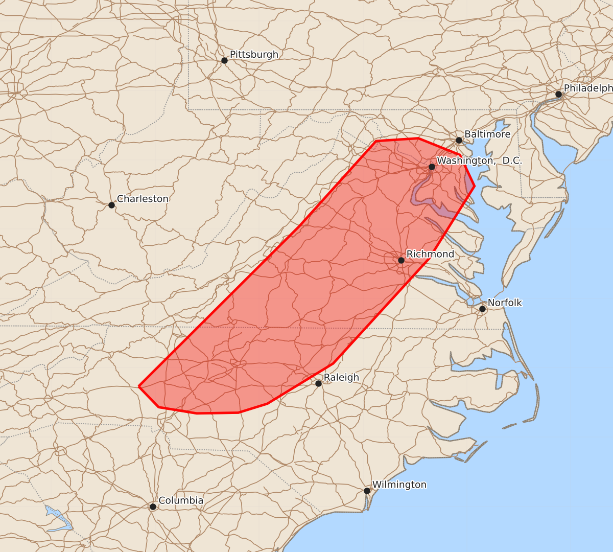
Strong to locally severe storms capable of producing damaging winds, small hail, and an isolated tornado may develop across parts of Virginia, Maryland, West Virginia, North Carolina, and Washington, D.C. through the evening.
Product Text
000 ACUS11 KWNS 270104 SWOMCD SPC MCD 270104 MDZ000-VAZ000-DCZ000-WVZ000-NCZ000-270300- Mesoscale Discussion 1750 NWS Storm Prediction Center Norman OK 0804 PM CDT Sun Jul 26 2026 Areas affected...Parts of VA/MD into western/central NC Concerning...Severe potential...Watch unlikely Valid 270104Z - 270300Z Probability of Watch Issuance...20 percent SUMMARY...Strong to locally severe storms will be possible through the evening. DISCUSSION...Isolated strong storms across VA have gradually intensified this evening, with short-term guidance suggesting a continued increase in storm coverage with time. While thermodynamic profiles are not particularly favorable (with weak lapse rates and rather cool surface temperatures), seasonably strong northwesterly mid/upper-level flow (as noted on the 00Z RNK sounding) associated with a mid/upper trough over the eastern CONUS will provide sufficient deep-layer shear for organized storm structures. Relatively organized multicells and perhaps a couple of marginal supercells may evolve with time across the region. With marginal thermodynamic profiles and the onset of nocturnal cooling, storms may struggle to achieve severe intensity. However, any organized cells or clusters could pose a threat of locally damaging wind through the evening, while a brief tornado and small to near-severe hail cannot be ruled out with any persistent supercell. ..Dean/Smith.. 07/27/2026 ...Please see www.spc.noaa.gov for graphic product... ATTN...WFO...AKQ...LWX...RAH...RNK...GSP... LAT...LON 35738124 38047892 39277781 39317720 39077660 38627639 37587704 36067843 35487938 35357980 35348040 35438095 35738124 MOST PROBABLE PEAK TORNADO INTENSITY...UP TO 90 MPH MOST PROBABLE PEAK WIND GUST...UP TO 60 MPH MOST PROBABLE PEAK HAIL SIZE...UP TO 1.25 IN