Mesoscale Discussion 1761
Issued: · Valid: –
Summary
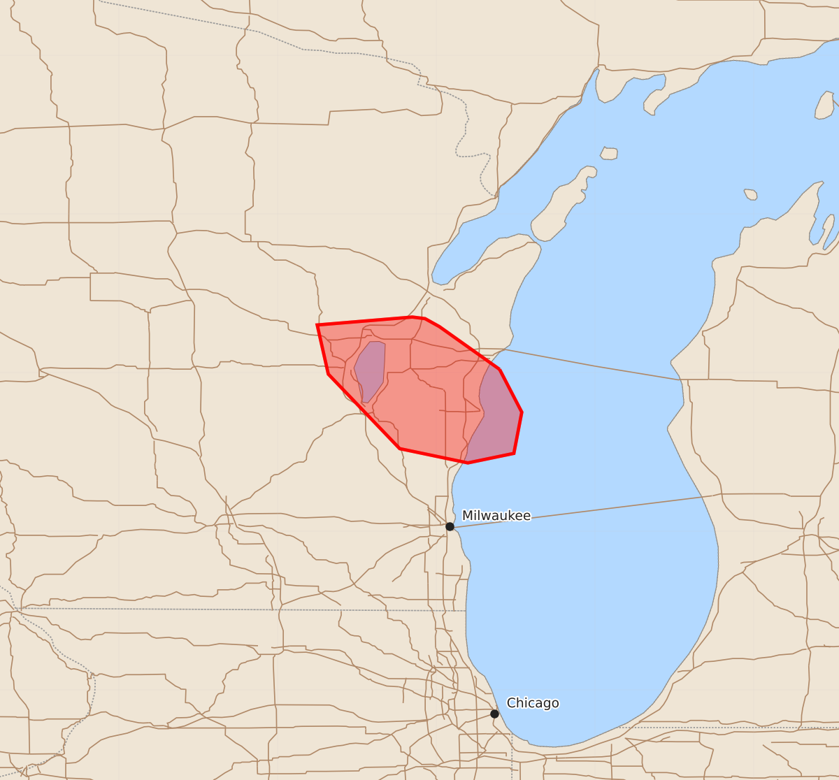
Severe thunderstorms capable of producing strong tornadoes and very large hail are expected to impact east-central Wisconsin over the next one to two hours.
Product Text
000 ACUS11 KWNS 271717 SWOMCD SPC MCD 271716 WIZ000-271845- Mesoscale Discussion 1761 NWS Storm Prediction Center Norman OK 1216 PM CDT Mon Jul 27 2026 Areas affected...east-central WI Concerning...Severe Thunderstorm Watch 519... Valid 271716Z - 271845Z The severe weather threat for Severe Thunderstorm Watch 519 continues. SUMMARY...Very large hail and tornado potential may persist the next 1-2 hours as a cell near Winnebago and Calumet counties continues southeast. DISCUSSION...A supercell over far northeast Winnebago and Calumet counties likely produced a damaging tornado recently based on strong rotation and TDS from KGRB radar. The downstream airmass remains very unstable with effective layer STP approaching 4 to 6 in a corridor southeast of ongoing storms. Given steep lapse rates, favorable thermodynamics and strong effective shear greater than 50 kt supporting continued supercell structures, a risk for very large hail up to 2.5 inches and a continued risk of strong tornadoes may continue for another 1-2 hours. ..Leitman.. 07/27/2026 ...Please see www.spc.noaa.gov for graphic product... ATTN...WFO...GRB...MKX... LAT...LON 44028760 43758746 43498751 43438780 43528823 43998868 44308875 44358815 44348807 44298798 44028760 MOST PROBABLE PEAK TORNADO INTENSITY...100-125 MPH MOST PROBABLE PEAK WIND GUST...65-80 MPH MOST PROBABLE PEAK HAIL SIZE...1.50-2.50 IN