Mesoscale Discussion 1678
Issued: · Valid: –
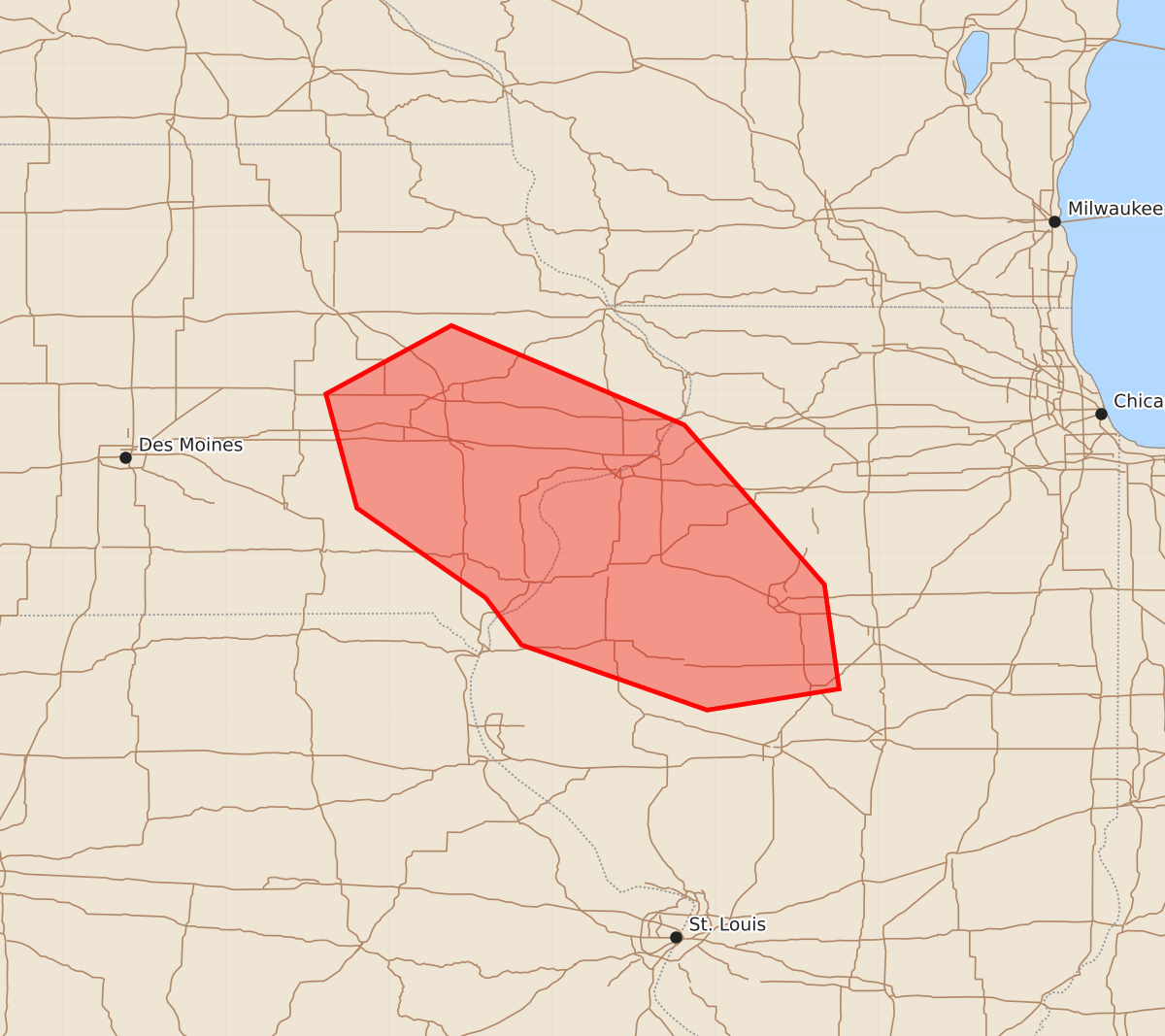
Summary
Severe wind gusts of 70 to 80 mph are expected to move through southeast Iowa and northwest Illinois within the next hour.
Product Text
000 ACUS11 KWNS 202237 SWOMCD SPC MCD 202237 ILZ000-IAZ000-202330- Mesoscale Discussion 1678 NWS Storm Prediction Center Norman OK 0537 PM CDT Mon Jul 20 2026 Areas affected...southeast Iowa into northwest Illinois Concerning...Tornado Watch 500... Valid 202237Z - 202330Z The severe weather threat for Tornado Watch 500 continues. SUMMARY...The potential for damaging winds with gusts of 70-80 mph are expected to move out of the watch area within the hour and an additional watch is being coordinated. DISCUSSION...As of 2230Z, a bow echo was approaching I-80, west of Iowa City with a forward motion of 45-50 mph. Extrapolation takes the convective system out of Tornado Watch 500 within the hour, requiring the issuance of a downstream watch. The primary hazard is severe winds with gusts up to 70-80 mph. ..Mead.. 07/20/2026 ...Please see www.spc.noaa.gov for graphic product... ATTN...WFO...ILX...DVN...DMX... LAT...LON 40729141 41279220 41979239 42399162 41789019 40808933 40168924 40039005 40439119 40729141 MOST PROBABLE PEAK TORNADO INTENSITY...85-110 MPH MOST PROBABLE PEAK WIND GUST...65-80 MPH MOST PROBABLE PEAK HAIL SIZE...1.00-1.75 IN