Mesoscale Discussion 1639
Issued: · Valid: –
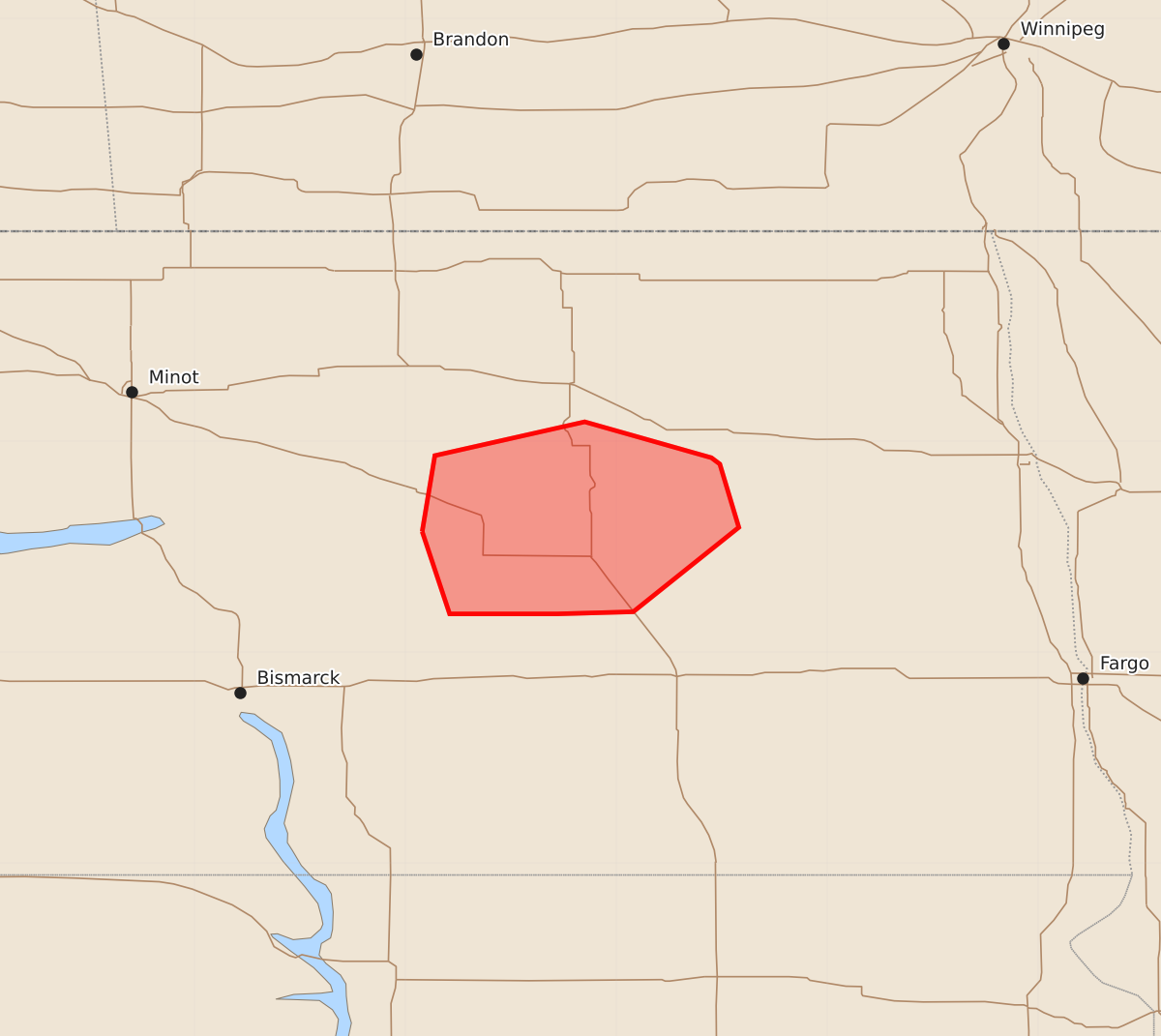
Summary
Severe thunderstorms are affecting northeast North Dakota, though the threat is expected to diminish through 11 PM CDT.
Product Text
000 ACUS11 KWNS 170335 SWOMCD SPC MCD 170335 NDZ000-170430- Mesoscale Discussion 1639 NWS Storm Prediction Center Norman OK 1035 PM CDT Thu Jul 16 2026 Areas affected...northeast North Dakota Concerning...Severe Thunderstorm Watch 491... Valid 170335Z - 170430Z The severe weather threat for Severe Thunderstorm Watch 491 continues. SUMMARY...The severe weather threat is expected to diminish over the next hour. DISCUSSION...Recent radar and satellite data indicate a gradual weakening of ongoing storms across portions of Wells, Eddy, and Foster Counties. The onset of nocturnal cooling is resulting in increasing convective inhibition, and in the absence of appreciable forcing for ascent, that trend is likely to continue along with a decreasing severe weather threat by 04Z (11 PM CDT). ..Mead.. 07/17/2026 ...Please see www.spc.noaa.gov for graphic product... ATTN...WFO...FGF...BIS... LAT...LON 47579992 47939986 48099915 47929855 47899851 47599842 47199892 47189928 47189979 47579992