Mesoscale Discussion 1823
Issued: · Valid: –
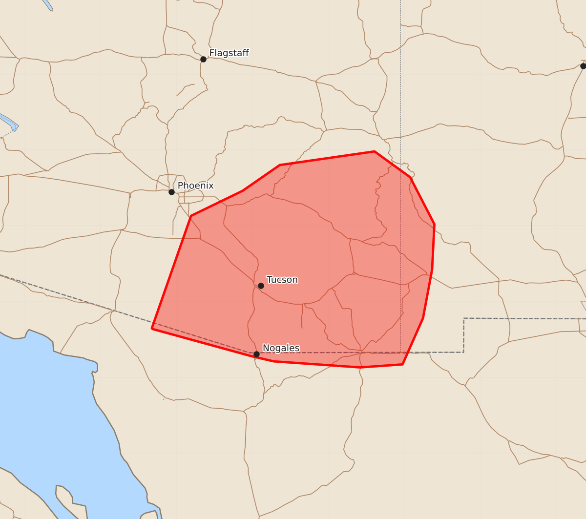
Summary
Isolated strong to severe wind gusts are possible from scattered thunderstorms moving across southeastern Arizona and far southwest New Mexico this afternoon and evening.
Product Text
000 ACUS11 KWNS 022016 SWOMCD SPC MCD 022016 NMZ000-AZZ000-022215- Mesoscale Discussion 1823 NWS Storm Prediction Center Norman OK 0316 PM CDT Sun Aug 02 2026 Areas affected...portions of southeastern Arizona and far southwest New Mexico Concerning...Severe potential...Watch unlikely Valid 022016Z - 022215Z Probability of Watch Issuance...20 percent SUMMARY...High-based thunderstorms are expected to increase in coverage over the higher terrain before spreading southwestward into the lower deserts this afternoon and evening. Isolated strong to severe gusts are possible. DISCUSSION...As of 2015 UTC, regional visible imagery showed initial thunderstorms were developing over the southern Mogollon Rim and higher terrain across southeastern AZ and far southwest NM. A very warm air mass is in place with temperatures in the 90ss to 100s F with very steep lapse rates also present. Despite only modest surface moisture (dewpoints in the 50s F) the air mass should continue to destabilize with further heating and orographic ascent this afternoon. This should allow for scattered thunderstorms late this afternoon and into the evening. Beneath the upper ridge over the West, flow aloft is fairly light, but ~20-25 kts of deep-layer shear will support occasional organization of multicell clusters as outflow consolidates and storms move southwestward off the higher terrain. The steep low-level lapse rates and clustering could support isolated strong to severe gusts with the more robust storms. However, the weak buoyancy and limited vertical shear suggest organization and severe potential will be largely sporadic. Thus, a WW appears unlikely. ..Lyons/Mosier.. 08/02/2026 ...Please see www.spc.noaa.gov for graphic product... ATTN...WFO...ABQ...EPZ...TWC...FGZ...PSR... LAT...LON 31641233 33131181 33461113 33801064 33980939 33640892 33020860 32420863 31780875 31170902 31130958 31211072 31281102 31641233 MOST PROBABLE PEAK WIND GUST...55-70 MPH