Mesoscale Discussion 1268
Issued: · Valid: –
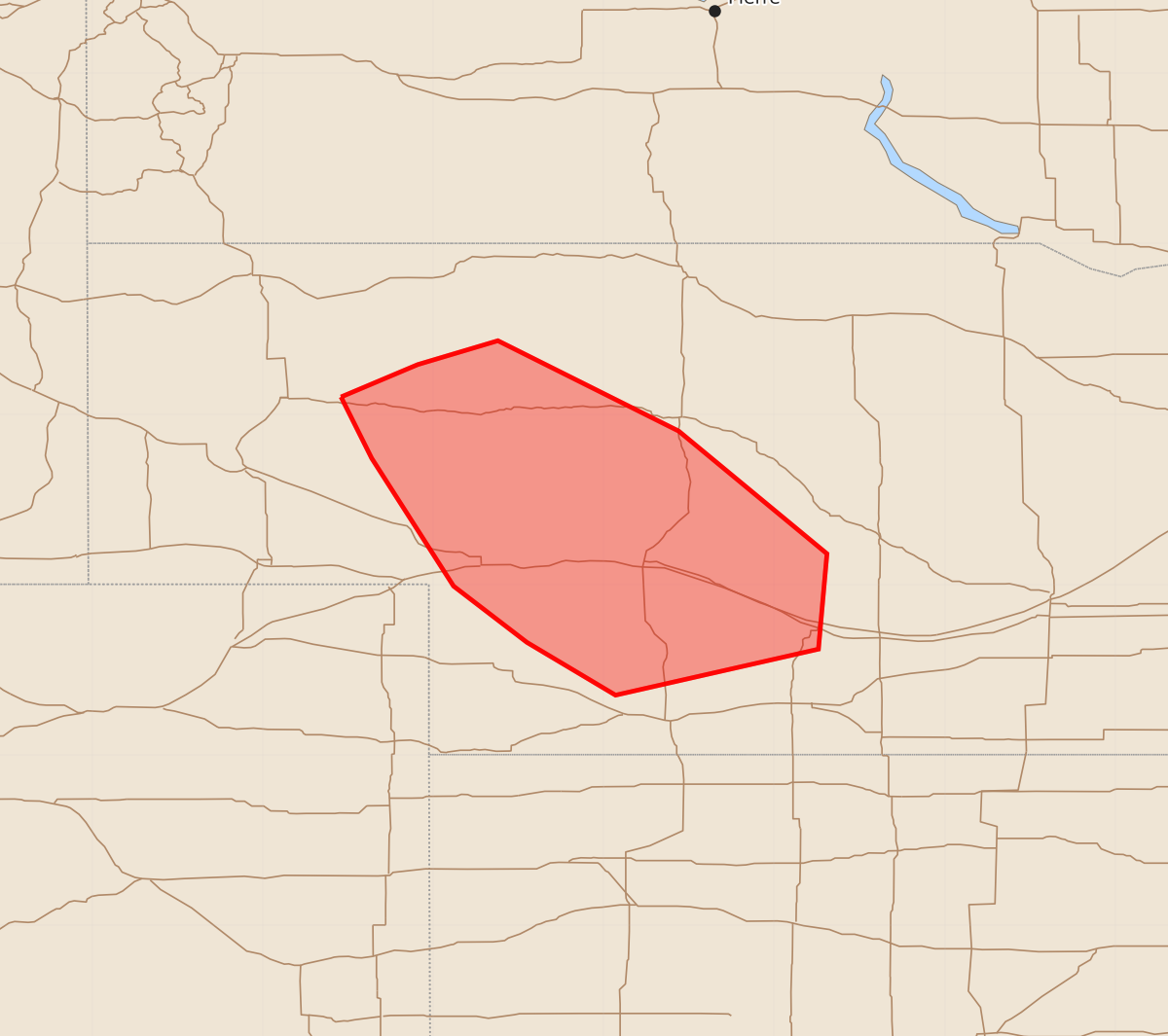
Summary
A narrow corridor in west-central Nebraska may experience hail and damaging wind gusts through Tuesday morning.
Product Text
000 ACUS11 KWNS 231042 SWOMCD SPC MCD 231041 NEZ000-231345- Mesoscale Discussion 1268 NWS Storm Prediction Center Norman OK 0541 AM CDT Tue Jun 23 2026 Areas affected...west-central Nebraska Concerning...Severe potential...Watch unlikely Valid 231041Z - 231345Z Probability of Watch Issuance...20 percent SUMMARY...A narrow corridor of hail and damaging wind potential may persist for a few hours this morning. DISCUSSION...An intense cluster of cells has developed near the surface trough over northern NE, under the influence of the upper wave moving across the Dakotas. Temperature aloft are relatively cool, with midlevel westerlies around 40 kt aiding deep-layer shear for storm longevity. Surface temperatures are cool and in the low 60s F, but stronger south/southwest winds just off the surface are likely aiding destabilization and storm relative inflow within the 850 mb theta-e gradient. Given the relatively large size of the complex and favorable elevated influx of moisture out of the south/southwest, it seems likely that hail and locally damaging wind potential will persist within a narrow zone immediately to the southeast. Trends will continue to be monitored for any additional expansion in threat area, and watch potential could be reconsidered at that time. ..Jewell/Gleason.. 06/23/2026 ...Please see www.spc.noaa.gov for graphic product... ATTN...WFO...GID...LBF... LAT...LON 42100254 42290209 42430162 41900056 41189969 40629974 40350093 40660145 40990188 41740236 42100254 MOST PROBABLE PEAK WIND GUST...55-70 MPH MOST PROBABLE PEAK HAIL SIZE...1.00-1.75 IN