Mesoscale Discussion 1576
Issued: · Valid: –
Summary
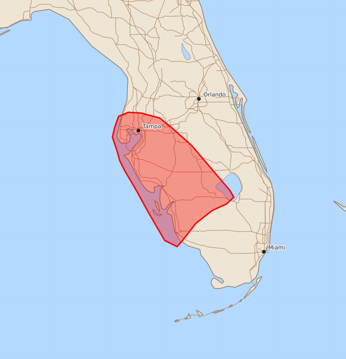
Thunderstorms moving northeastward along the Florida Gulf Coast and portions of the south/central peninsula may produce damaging wind gusts over the next one to two hours. These storms are expected to bring occasional severe wind gusts between 55 and 70 mph.
Product Text
000 ACUS11 KWNS 101952 SWOMCD SPC MCD 101952 FLZ000-102145- Mesoscale Discussion 1576 NWS Storm Prediction Center Norman OK 0252 PM CDT Fri Jul 10 2026 Areas affected...portions of South/Central Florida and the Florida Gulf Coast Concerning...Severe potential...Watch unlikely Valid 101952Z - 102145Z Probability of Watch Issuance...5 percent SUMMARY...Thunderstorms progressing northeastward along the Gulf Coast of the southern/central Florida Peninsula will bring a risk for damaging wind gusts over the next 1-2 hours. DISCUSSION...Strong heating of a moist low-level air mass (dewpoints at or above 70 F across southwest Florida) has resulted in strong instability developing across the region (MLCAPE of 3000-3500+ indicated by latest objective analysis). While deep-layer flow and effective shear remain weak, this strong instability coupled with steep low-level lapse rates and high PW (around 2 inches) will promote the potential for water-loaded downbursts capable of occasional damaging wind gusts (and perhaps a localized severe gust) as convection evolves northeastward along the southwestern periphery of an expansive Bermuda High. Given the expectation for the severe risk to remain limited in spatial extent and severity, watch issuance is not expected. ..Chalmers/Smith.. 07/10/2026 ...Please see www.spc.noaa.gov for graphic product... ATTN...WFO...MFL...TBW... LAT...LON 27688151 26888083 26768076 26648089 26528115 26298144 25988168 25888177 25998199 26498228 26898250 27238270 27418279 27568283 27838292 28008288 28208281 28278264 28268242 28178208 28018188 27688151 MOST PROBABLE PEAK WIND GUST...55-70 MPH