Mesoscale Discussion 2274
Issued: · Valid: –
Summary
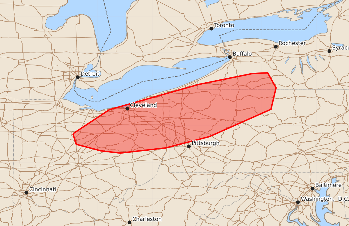
Damaging wind gusts and a brief tornado may occur across portions of northern Ohio, northwestern Pennsylvania, and western New York through the evening.
Product Text
000 ACUS11 KWNS 092043 SWOMCD SPC MCD 092042 NYZ000-PAZ000-WVZ000-OHZ000-092215- Mesoscale Discussion 2274 NWS Storm Prediction Center Norman OK 0342 PM CDT Wed Sep 09 2026 Areas affected...portions of northern Ohio into northwestern Pennsylvania and far western New York Concerning...Severe Thunderstorm Watch 665... Valid 092042Z - 092215Z The severe weather threat for Severe Thunderstorm Watch 665 continues. SUMMARY...A few damaging gusts may accompany the stronger storms over the next few hours. A brief tornado cannot be ruled out. DISCUSSION...Multicells, transient supercells, and short line segments have become established along/ahead of a surface trough. These storms are overspreading a boundary layer characterized by 80s/70s F surface temperatures/dewpoints, where 1000-1500 J/kg MLCAPE is in place, along with 30-40 kts of effective bulk shear. The current thinking is that these storms will maintain their intensity and continue to pose a risk for a few damaging gusts. A brief tornado also cannot be ruled out, especially for any storms that anchor on the baroclinic boundary, roughly established along the OH/PA/NY border area. ..Squitieri.. 09/09/2026 ...Please see www.spc.noaa.gov for graphic product... ATTN...WFO...BGM...BUF...CTP...PBZ...CLE... LAT...LON 40788318 41448218 42137974 42437826 42457784 42047761 41457775 40707944 40398064 40258188 40318241 40498309 40788318 MOST PROBABLE PEAK TORNADO INTENSITY...UP TO 90 MPH MOST PROBABLE PEAK WIND GUST...55-70 MPH