Mesoscale Discussion 1606
Issued: · Valid: –
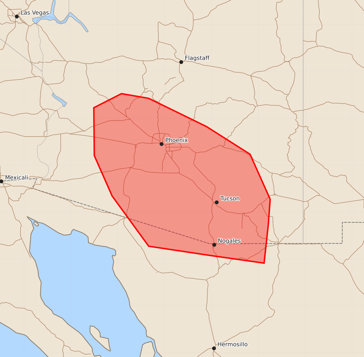
Summary
Isolated strong to severe wind gusts of up to 80 mph are expected across parts of southern and central Arizona this afternoon and into this evening.
Product Text
000 ACUS11 KWNS 121950 SWOMCD SPC MCD 121949 AZZ000-122145- Mesoscale Discussion 1606 NWS Storm Prediction Center Norman OK 0249 PM CDT Sun Jul 12 2026 Areas affected...southern/central Arizona Concerning...Severe potential...Watch possible Valid 121949Z - 122145Z Probability of Watch Issuance...60 percent SUMMARY...Isolated strong to severe wind gusts are expected this afternoon into this evening across parts of southern/central Arizona. Trends are being monitored for possible watch issuance. DISCUSSION...Deepening cumulus is noted in visible satellite imagery across parts of southeast AZ, with ongoing thunderstorms further north along the Mogollon Rim as of 1945 UTC. Steep midlevel lapse rates and abundant midlevel moisture are supporting MLCAPE values up to around 1000 J/kg. Continued destabilization is expected over the next few hours and additional thunderstorm development is expected over higher terrain. Midlevel easterly flow around 20-30 kts will support convection moving off the higher terrain and across the lower deserts through evening. Organized clusters may produce isolated strong to severe gusts to 80 mph. A severe thunderstorm watch may be needed in the next 1-2 hours. ..Leitman/Smith.. 07/12/2026 ...Please see www.spc.noaa.gov for graphic product... ATTN...WFO...TWC...FGZ...PSR...VEF... LAT...LON 34421234 33821111 33231018 32270975 31730979 30910988 31081108 31271234 32341312 33201350 34221351 34521292 34421234 MOST PROBABLE PEAK WIND GUST...65-80 MPH