Mesoscale Discussion 1381
Issued: · Valid: –
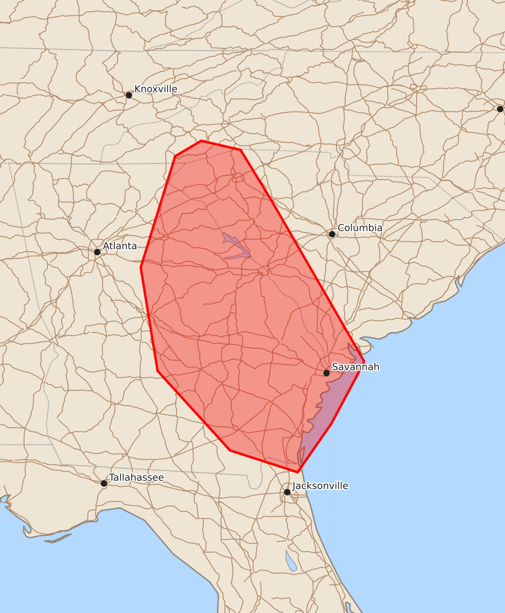
Summary
Damaging wind gusts up to 60 mph are possible across portions of eastern Georgia and western South Carolina this afternoon.
Product Text
000 ACUS11 KWNS 291910 SWOMCD SPC MCD 291909 SCZ000-GAZ000-FLZ000-NCZ000-292145- Mesoscale Discussion 1381 NWS Storm Prediction Center Norman OK 0209 PM CDT Mon Jun 29 2026 Areas affected...portions of western south Carolina and eastern Georgia Concerning...Severe potential...Watch unlikely Valid 291909Z - 292145Z Probability of Watch Issuance...5 percent SUMMARY...A few damaging gusts possible across portions of western South Carolina and eastern Georgia. A watch is not anticipated at this time. DISCUSSION...Convection is developing near the Georgia/South Carolina border at the periphery of an upper-level ridge. A deep, moist air mass is in place with weak flow throughout the column, as shown by the JAX 18Z RAOB. The weak flow is giving rise to mainly single-cell convection with occasional multicells, and a few weak downburst signatures have been observed on regional WSR-88Ds. Due to the moist profiles, some damaging gusts may occur with water-loaded downdrafts, and any clustering may increase the potential for damaging gusts. Additionally, a weak surface boundary may provide a focus for additional convection as the afternoon progresses. However, the coverage of damaging gusts is expected to be sparse enough that a watch is not anticipated at this time. ..Supinie/Guyer.. 06/29/2026 ...Please see www.spc.noaa.gov for graphic product... ATTN...WFO...CHS...CAE...GSP...JAX...FFC...TAE... LAT...LON 32188057 34478189 35198233 35328289 35108326 33528375 32058351 30928248 30618152 31308104 32188057 MOST PROBABLE PEAK WIND GUST...UP TO 60 MPH