Mesoscale Discussion 2162
Issued: · Valid: –
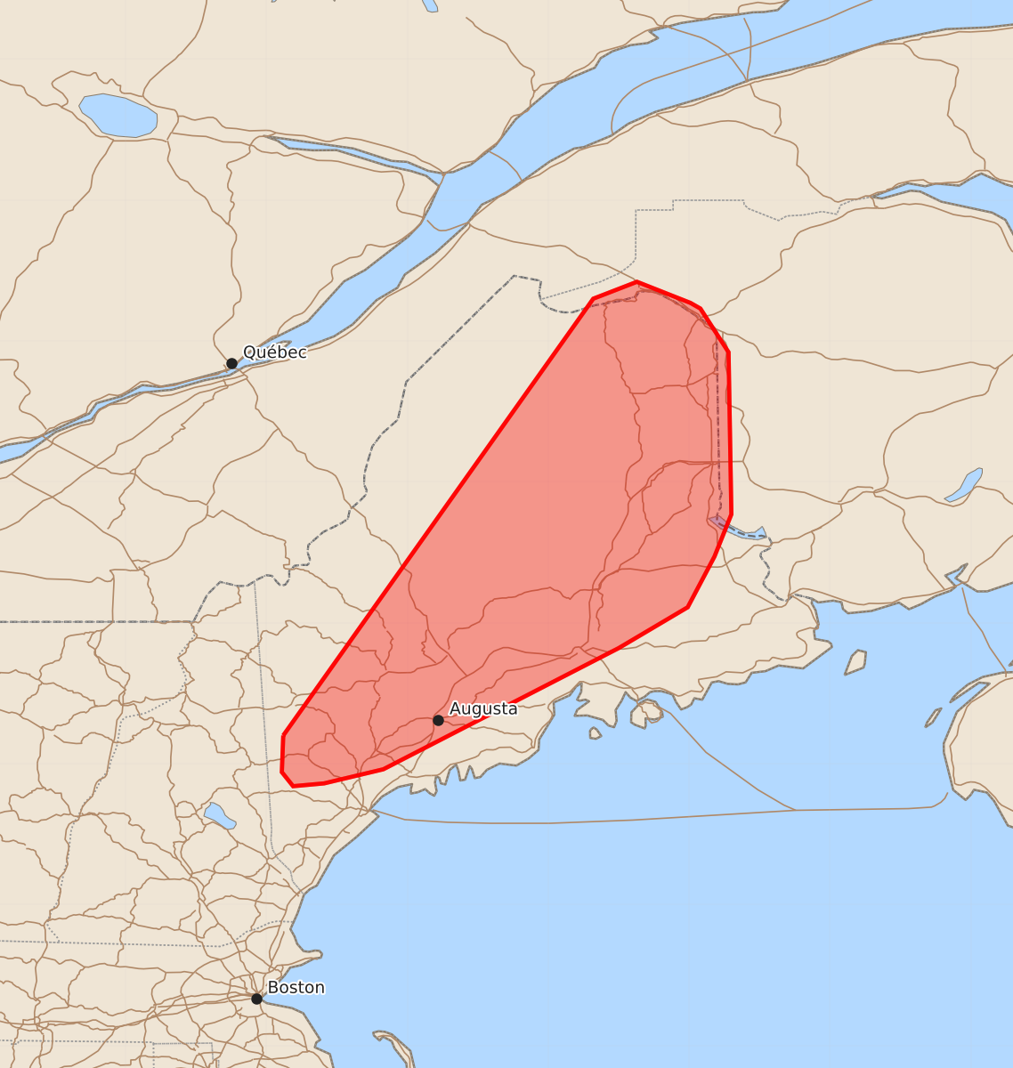
Summary
Developing thunderstorms across central and eastern Maine may produce marginally severe hail and damaging wind gusts through late afternoon.
Product Text
000 ACUS11 KWNS 281728 SWOMCD SPC MCD 281728 MEZ000-282000- Mesoscale Discussion 2162 NWS Storm Prediction Center Norman OK 1228 PM CDT Fri Aug 28 2026 Areas affected...Maine Concerning...Severe potential...Watch unlikely Valid 281728Z - 282000Z Probability of Watch Issuance...5 percent SUMMARY...Thunderstorms developing across central to eastern Maine will gradually intensify through late afternoon. The stronger storms may pose a threat of marginally severe hail and damaging wind gusts. DISCUSSION...Latest GOES imagery and echo top trends show transient deepening of convective updrafts within a broken convective line across northern ME. This recent uptick in intensity is likely attributable to temperatures warming into the upper 70s and low 80s via diurnal warming, which is contributing to SBCAPE values roughly around 1000 J/kg. Further heating over the next couple of hours should bolster buoyancy slightly by peak heating (most likely up to around 1500 J/kg). This should promote gradual intensification through the afternoon as the cold front pushes east. Additional convective showers are noted further south and southwest along and ahead of the front, and should similar see gradual intensification through peak heating as they spread east. Despite fairly modest mid-level lapse rates, some measure of deep-layer wind shear (estimated to be around 25-30 knots based on recent VWP observations) may promote adequate storm organization for marginally severe hail and damaging wind gusts (especially if a linear storm mode can be realized through peak heating when low-level lapse rates will be maximized). In general, this severe threat is expected to be too transient and localized to warrant watch issuance. ..Moore/Mosier.. 08/28/2026 ...Please see www.spc.noaa.gov for graphic product... ATTN...WFO...CAR...GYX... LAT...LON 44207088 47306868 47426837 47276799 47236792 46926772 45776770 45476782 45116801 44826850 43967017 43867059 43847081 43947089 44207088 MOST PROBABLE PEAK WIND GUST...UP TO 60 MPH MOST PROBABLE PEAK HAIL SIZE...UP TO 1.25 IN