Watch 366 Outline
Issued:
Summary
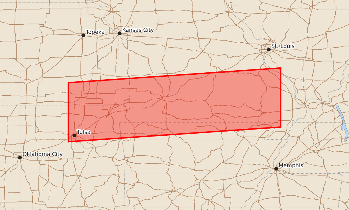
Severe thunderstorms are expected to affect parts of Arkansas, Kansas, Missouri, and Oklahoma from late tonight through early tomorrow morning. These storms may produce significant hazards including 2-inch hail and 60-knot wind gusts.
Product Text
000 WWUS30 KWNS 212238 SAW6 SPC AWW 212238 WW 366 SEVERE TSTM AR KS MO OK 212240Z - 220600Z AXIS..60 STATUTE MILES NORTH AND SOUTH OF LINE.. 5WNW BVO/BARTLESVILLE OK/ - 45NE POF/POPLAR BLUFF MO/ ..AVIATION COORDS.. 50NM N/S /39NNW TUL - 31SSE FAM/ HAIL SURFACE AND ALOFT..2 INCHES. WIND GUSTS..60 KNOTS. MAX TOPS TO 500. MEAN STORM MOTION VECTOR 29020. LAT...LON 37669610 38098989 36368989 35939610 THIS IS AN APPROXIMATION TO THE WATCH AREA. FOR A COMPLETE DEPICTION OF THE WATCH SEE WOUS64 KWNS FOR WOU6.