Mesoscale Discussion 1305
Issued: · Valid: –
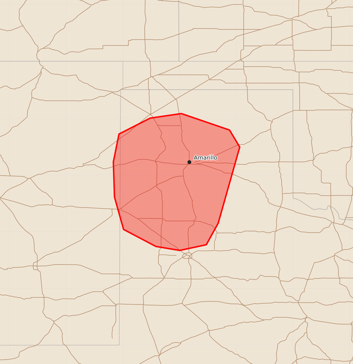
Summary
Isolated severe thunderstorms producing damaging wind gusts and large hail may affect portions of the Texas Panhandle and South Plains overnight. These storms are expected to bring wind gusts up to 70 mph and hail up to 1.75 inches in diameter.
Product Text
000 ACUS11 KWNS 250358 SWOMCD SPC MCD 250357 TXZ000-NMZ000-250500- Mesoscale Discussion 1305 NWS Storm Prediction Center Norman OK 1057 PM CDT Wed Jun 24 2026 Areas affected...portions of the Texas Panhandle and South Plains Concerning...Severe potential...Watch unlikely Valid 250357Z - 250500Z Probability of Watch Issuance...20 percent SUMMARY...A few instances of severe hail and wind may occur with storms progressing out of east-central NM into the TX South Plains over the next few hours. However, the severe threat should remain isolated, with a downstream WW issuance not expected. DISCUSSION...Multicellular outflow dominant storms have exited Severe Thunderstorm Watch 388 with a recent history of producing measured severe gusts. These storms are overspreading a relatively dry boundary layer, approximated by the evaluation of both the AMA and MAF 00Z observed soundings. Furthermore, the 03Z mesoanalysis depicts 1000-1500 J/kg DCAPE preceding the storms, suggesting that ample evaporative cooling potential exists for severe gusts, especially where cold-pool mergers occur. However, boundary layer cooling should temper both the spatial and temporal extent of the severe threat, with 50+ kt gusts and 1+ inch diameter hail expected to remain isolated overall. ..Squitieri/Mosier.. 06/25/2026 ...Please see www.spc.noaa.gov for graphic product... ATTN...WFO...LUB...AMA...ABQ... LAT...LON 36080197 35790112 35490094 34150132 33770153 33670200 33740242 34040299 34610315 35230317 35720307 36000252 36080197 MOST PROBABLE PEAK WIND GUST...55-70 MPH MOST PROBABLE PEAK HAIL SIZE...1.00-1.75 IN