Mesoscale Discussion 1145
Issued: · Valid: –
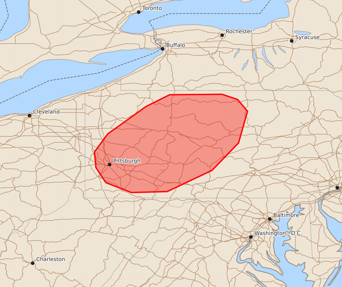
Summary
Tornadoes and damaging winds are possible across parts of western and central Pennsylvania through early evening. The risk for supercell tornadoes and high wind gusts will be most significant over the next few hours.
Product Text
000 ACUS11 KWNS 142155 SWOMCD SPC MCD 142154 PAZ000-142330- Mesoscale Discussion 1145 NWS Storm Prediction Center Norman OK 0454 PM CDT Sun Jun 14 2026 Areas affected...Parts of western and central Pennsylvania Concerning...Tornado Watch 336... Valid 142154Z - 142330Z The severe weather threat for Tornado Watch 336 continues. SUMMARY...Supercell tornado risk will persist for another few hours. A couple tornadoes and damaging winds are also possible with the approaching squall line from the west. DISCUSSION...The latest radar data from CCX shows a few discrete supercells evolving across western and central PA ahead of a cold front and related squall line. The CCX VWP is sampling a 30-40 kt low-level jet, which is yielding a clockwise-curved low-level hodograph with ample streamwise vorticity for RM supercells (320 m2/s2 0-1km SRH). This wind profile coupled with a warm/moist PBL (middle/upper 60s dewpoints) will continue to support a few discrete supercell structures capable of producing a couple of tornadoes. The supercell tornado risk will generally be maximized for the next few hours (through around 01Z), before the core of the low-level jet translates northward. Embedded tornadoes and damaging wind gusts will also be possible with the northeast/southwest-oriented squall line as it advances eastward across western/central PA, given the aforementioned favorable downstream environment. ..Weinman.. 06/14/2026 ...Please see www.spc.noaa.gov for graphic product... ATTN...WFO...CTP...PBZ... LAT...LON 39867878 39847954 40058008 40378029 40708032 41088004 41667923 41917873 41927762 41817729 41567708 40897727 40317783 39867878 MOST PROBABLE PEAK TORNADO INTENSITY...100-125 MPH MOST PROBABLE PEAK WIND GUST...55-70 MPH MOST PROBABLE PEAK HAIL SIZE...UP TO 1.25 IN