Mesoscale Discussion 1346
Issued: · Valid: –
Summary
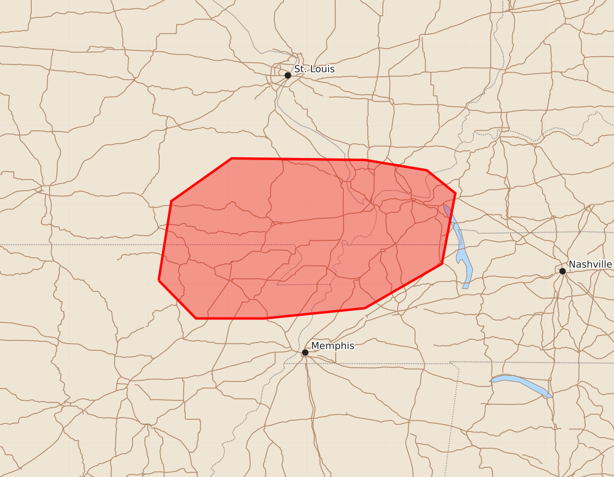
Damaging wind potential may increase across southeast Missouri, northeast Arkansas, southern Illinois, western Kentucky, and northwest Tennessee by late morning. Expected wind gusts could reach 55 to 70 mph.
Product Text
000 ACUS11 KWNS 271440 SWOMCD SPC MCD 271439 KYZ000-TNZ000-ILZ000-MOZ000-ARZ000-271715- Mesoscale Discussion 1346 NWS Storm Prediction Center Norman OK 0939 AM CDT Sat Jun 27 2026 Areas affected...southeast Missouri...northeast Arkansas...far southern Illinois...western Kentucky...and northwest Tennessee Concerning...Severe potential...Watch possible Valid 271439Z - 271715Z Probability of Watch Issuance...40 percent SUMMARY...Damaging wind potential may increase by late morning across the discussion area. Convective trends are being monitored for a possible Severe Thunderstorm Watch. DISCUSSION...Both radar and satellite data indicate a well-defined MCV in the Springfield, MO vicinity with a related band of thunderstorms across portions of south-central MO into north-central AR. Recent IR satellite trends show cooling cloud tops with the MO storms, along with an uptick in lightning frequency. The downstream air mass across the discussion area is quite moist with dewpoints in the mid 70 to low 80, which, coupled with filtered sunshine, is contributing to an uncapped and moderately unstable environment with MLCAPE of 1500-2000 J/kg, per latest objective analysis. Both the KSRX and KLZK VWPs are sampling an enhancement of mid-level winds within the southern periphery of the MCV with speeds as high as 45-55 kt observed in the 4-6 km layer. Those observations suggest that a more organized damaging wind threat may evolve by late morning as the ongoing storms continue east and encounter an increasingly unstable air mass. ..Mead/Guyer.. 06/27/2026 ...Please see www.spc.noaa.gov for graphic product... ATTN...WFO...PAH...MEG...LSX...LZK...SGF... LAT...LON 36059187 37059171 37599095 37578927 37448849 37158813 36268830 35708927 35579054 35579140 36059187 MOST PROBABLE PEAK WIND GUST...55-70 MPH