Mesoscale Discussion 1658
Issued: · Valid: –
Summary
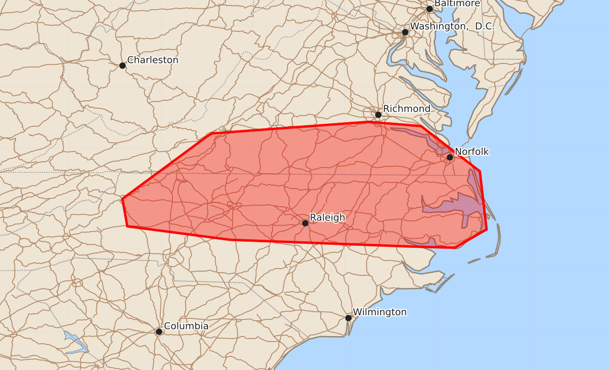
Scattered storms capable of producing damaging wind gusts up to 60 mph are expected across parts of southern Virginia and the Carolinas early this afternoon.
Product Text
000 ACUS11 KWNS 191620 SWOMCD SPC MCD 191620 NCZ000-VAZ000-191815- Mesoscale Discussion 1658 NWS Storm Prediction Center Norman OK 1120 AM CDT Sun Jul 19 2026 Areas affected...Southern Mid-Atlantic into North Carolina Concerning...Severe potential...Watch possible Valid 191620Z - 191815Z Probability of Watch Issuance...60 percent SUMMARY...Scattered storms this afternoon will be capable of wind damage. A watch is possible early this afternoon. DISCUSSION...Low to upper 70s F dewpoints are in place from central Virginia into the Carolinas early this afternoon. Cloud debris in southern Virginia is slowly eroding and temperatures are generally in the upper 80s to low 90s F. Between the southward moving cold front, the Blue Ridge, and differential heating boundaries, scattered storm development appears likely over the next few hours. Damaging downburst winds will be possible with this activity as low-level lapse rates continue to steepen. Morning observed soundings indicate poor mid-level lapse rates and strong mid-level flow will diminish with southward extent. Even so, storm coverage and potential clustering will support enough of a severe threat that a watch is possible for parts of the region early this afternoon. ..Wendt/Thompson.. 07/19/2026 ...Please see www.spc.noaa.gov for graphic product... ATTN...WFO...AKQ...MHX...RAH...RNK...GSP... LAT...LON 37437761 37367675 36627579 35677568 35377620 35397692 35507987 35728155 36178163 37198025 37248017 37437761 MOST PROBABLE PEAK WIND GUST...UP TO 60 MPH