Mesoscale Discussion 1256
Issued: · Valid: –
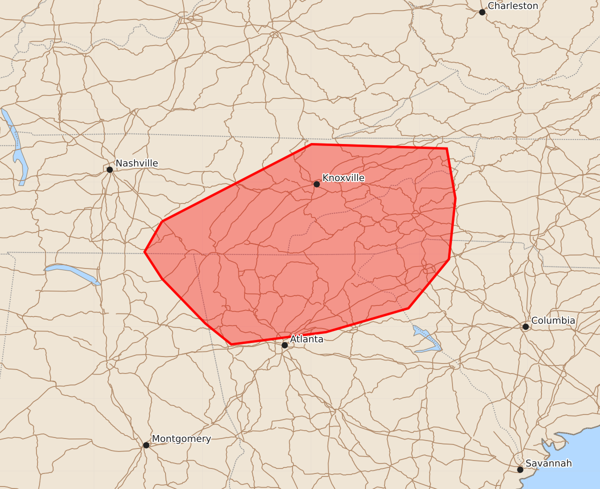
Summary
Sporadic strong wind gusts from thunderstorms are possible across eastern Tennessee, northern Georgia, and the western Carolinas through late afternoon and early evening. The severity remains uncertain, though gusts could reach 55 to 70 mph.
Product Text
000 ACUS11 KWNS 221938 SWOMCD SPC MCD 221937 NCZ000-SCZ000-TNZ000-GAZ000-ALZ000-222130- Mesoscale Discussion 1256 NWS Storm Prediction Center Norman OK 0237 PM CDT Mon Jun 22 2026 Areas affected...eastern TN...northern GA...and the western Carolinas Concerning...Severe potential...Watch possible Valid 221937Z - 222130Z Probability of Watch Issuance...40 percent SUMMARY...Thunderstorm coverage will gradually increase through late afternoon. Sporadic strong wind gusts will be possible. A watch may be needed at some point, but a more organized severe risk is uncertain. DISCUSSION...Clusters of thunderstorms over northern AL and Middle TN will continue to progress generally east/northeast through the remainder of the afternoon. Most of the stronger midlevel flow across the region is in the wake of an MCV/outflow boundary extending from Middle TN into northwest AL, leaving generally weak vertical shear across northern GA/eastern TN and the western Carolinas. Nevertheless, a warm and moist airmass resides across the area, resulting in moderate instability. Transient multicells/clusters may produce sporadic strong/locally damaging gusts. If a more organized cluster/bowing complex can develop upstream closer to the MCV and move into this area late this afternoon/early evening, some increased risk for damaging winds may develop. A more organized severe risk and the need for a severe thunderstorm watch is uncertain. Trends will be monitored. ..Leitman/Hart.. 06/22/2026 ...Please see www.spc.noaa.gov for graphic product... ATTN...WFO...GSP...MRX...FFC...OHX...BMX...HUN... LAT...LON 35458606 36528399 36468212 35778200 34938209 34258265 33928379 33758510 34048546 34668606 35038630 35458606 MOST PROBABLE PEAK TORNADO INTENSITY...UP TO 90 MPH MOST PROBABLE PEAK WIND GUST...55-70 MPH MOST PROBABLE PEAK HAIL SIZE...UP TO 1.25 IN