Mesoscale Discussion 2127
Issued: · Valid: –
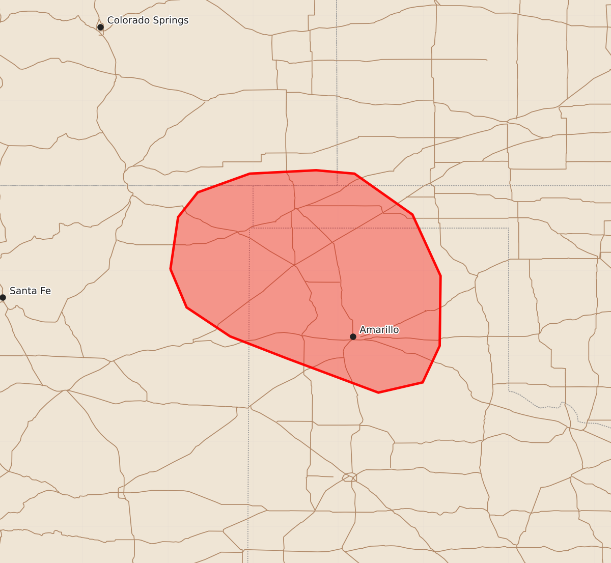
Summary
Severe thunderstorms capable of producing wind gusts as high as 70 to 80 mph are expected over parts of the Oklahoma and Texas Panhandles, western Kansas, northeast New Mexico, and southeast Colorado through the afternoon and early evening.
Product Text
000 ACUS11 KWNS 251903 SWOMCD SPC MCD 251903 TXZ000-OKZ000-KSZ000-COZ000-NMZ000-252100- Mesoscale Discussion 2127 NWS Storm Prediction Center Norman OK 0203 PM CDT Tue Aug 25 2026 Areas affected...far southeast Colorado...northeast New Mexico...far southwest Kansas...western and central parts of the Oklahoma and Texas Panhandles Concerning...Severe potential...Watch likely Valid 251903Z - 252100Z Probability of Watch Issuance...80 percent SUMMARY...The threat for severe thunderstorms capable of severe wind gusts up to 70-80 mph is expected to increase over western parts of the discussion area by mid to late afternoon. A severe thunderstorm watch is likely by 21Z. DISCUSSION...In the presence of steep low/mid-level lapse rates and weak background forcing for ascent, thunderstorms are gradually increasing over the Sangre de Cristo Mountains and adjacent Raton Mesa. Latest HRRR and RRFS time-lagged ensemble guidance indicates a subsequent eastward movement of the developing storms toward the OK and TX Panhandle between 21Z-23Z. While overall CAPE will remain somewhat marginal (750-1000 J/kg), the presence of lapse rates greater than 8-8.5 C/km and effective bulk shear of around 25 kt will support some organization of the high-based storms, which are rooted atop a hot, well-mixed boundary layer. Latest CAM data remain in good agreement in depicting storm clustering by early to mid evening along a strengthening cold pool. Initially isolated occurrences of severe winds may become more numerous at that time along with an increased potential for gusts up to 70-80 mph. ..Mead/Smith.. 08/25/2026 ...Please see www.spc.noaa.gov for graphic product... ATTN...WFO...DDC...LUB...AMA...PUB...ABQ... LAT...LON 36020397 36630388 36920365 37140304 37180226 37140181 36660113 35940080 35120081 34690101 34570153 34970260 35230327 35570378 36020397 MOST PROBABLE PEAK WIND GUST...65-80 MPH MOST PROBABLE PEAK HAIL SIZE...UP TO 1.25 IN