Mesoscale Discussion 1335
Issued: · Valid: –
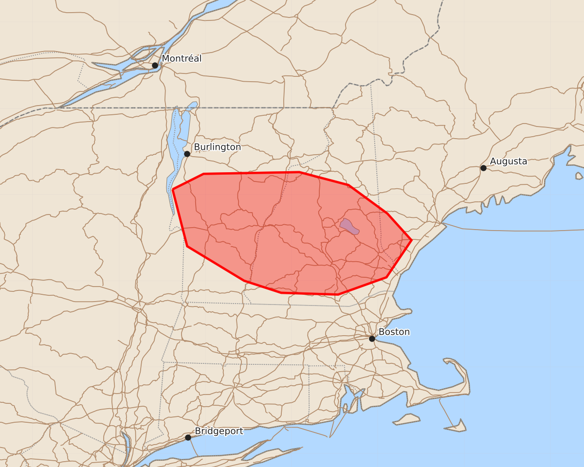
Summary
Severe thunderstorms capable of producing large hail and damaging wind gusts will affect portions of central and southern Vermont, New Hampshire, and the southern coast of Maine through early evening. The expected severity includes hail up to 1.5 inches and wind gusts between 60 and 65 knots.
Product Text
000 ACUS11 KWNS 262016 SWOMCD SPC MCD 262016 MEZ000-NHZ000-VTZ000-NYZ000-262215- Mesoscale Discussion 1335 NWS Storm Prediction Center Norman OK 0316 PM CDT Fri Jun 26 2026 Areas affected...portions of central and southern Vermont and New Hampshire to the South Coast of Maine. Concerning...Severe Thunderstorm Watch 397... Valid 262016Z - 262215Z The severe weather threat for Severe Thunderstorm Watch 397 continues. SUMMARY...The threat for large hail up to 1.5" and locally severe wind gusts of 60-65 kt continues across the watch area. DISCUSSION...An earlier cluster of thunderstorms with embedded supercell structures that produced wind damage and some small hail in central Rutland County, VT has recently weakened. However, the lingering convection is in the vicinity of a diffuse warm front that extends southeast through southeastern NH. That boundary along with orographic ascent along favored terrain in the Green and White Mountains may aid in additional storm formation late this afternoon into early evening. Given the presence of 1000 J/kg MLCAPE and 35-45 kt of effective bulk shear, the environment is expected to remain supportive of additional severe storms capable of hail up to 1.5" and damaging wind gusts for the next few hours. ..Mead.. 06/26/2026 ...Please see www.spc.noaa.gov for graphic product... ATTN...WFO...GYX...BTV...ALY... LAT...LON 44067338 44247302 44267191 44117134 43787089 43477061 43047090 42847146 42867212 43007255 43407321 44067338 MOST PROBABLE PEAK TORNADO INTENSITY...UP TO 90 MPH MOST PROBABLE PEAK WIND GUST...55-70 MPH MOST PROBABLE PEAK HAIL SIZE...1.00-1.75 IN