Mesoscale Discussion 2105
Issued: · Valid: –
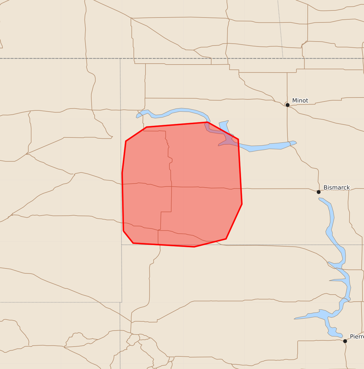
Summary
Severe thunderstorms capable of producing large hail and damaging wind gusts are expected to develop across parts of southwestern North Dakota over the next few hours.
Product Text
000 ACUS11 KWNS 232149 SWOMCD SPC MCD 232149 NDZ000-SDZ000-232315- Mesoscale Discussion 2105 NWS Storm Prediction Center Norman OK 0449 PM CDT Sun Aug 23 2026 Areas affected...Parts of southwestern North Dakota Concerning...Severe potential...Watch likely Valid 232149Z - 232315Z Probability of Watch Issuance...95 percent SUMMARY...The risk of supercells and organized clusters capable of producing large hail and severe wind gusts will increase over the next few hours. A watch will be issued shortly. DISCUSSION...Thunderstorms are evolving along a lee trough in far southwestern ND -- potentially being aided by a passing midlevel wave farther north (evident in WV imagery). An elongated hodograph with clockwise curvature (around 30-40 kt of effective shear) and steep midlevel lapse rates atop lower/middle 60s dewpoints will support organized clusters and supercell structures capable of producing large to very large hail and severe wind gusts. Deep-layer shear oriented perpendicular to the lee trough will initially favor discrete cells, though localized upscale growth into small clusters is possible with time. A watch will be issued shortly. ..Weinman/Thompson.. 08/23/2026 ...Please see www.spc.noaa.gov for graphic product... ATTN...WFO...BIS...UNR... LAT...LON 46170398 47120400 47640394 47870360 47950260 47670210 46610204 46040230 45910282 45970382 46170398 MOST PROBABLE PEAK WIND GUST...65-80 MPH MOST PROBABLE PEAK HAIL SIZE...1.50-2.50 IN