Mesoscale Discussion 1200
Issued: · Valid: –
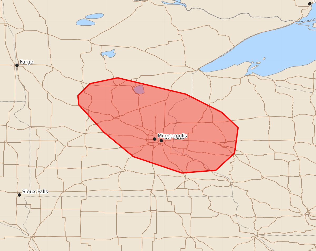
Summary
Severe thunderstorms capable of producing large hail and damaging wind gusts are expected across central Minnesota and west-central Wisconsin this afternoon. These storms may become severe by late afternoon or early evening.
Product Text
000 ACUS11 KWNS 191827 SWOMCD SPC MCD 191827 WIZ000-MNZ000-192100- Mesoscale Discussion 1200 NWS Storm Prediction Center Norman OK 0127 PM CDT Fri Jun 19 2026 Areas affected...Central Minnesota into west-central Wisconsin Concerning...Severe potential...Watch possible Valid 191827Z - 192100Z Probability of Watch Issuance...60 percent SUMMARY...The potential for severe thunderstorms capable of large hail and damaging wind gusts is expected to increase this afternoon. Convective trends are being monitored for a possible Severe Thunderstorm Watch issuance. DISCUSSION...Despite boundary-layer dewpoints only in the mid 50s to around 60, the combination of daytime heating and cooling mid-level temperatures are contributing to air mass destabilization with MLCAPE expected to increase to 1000-1200 J/kg this afternoon. That destabilization process will support the southeastward advance of ongoing thunderstorms over the Red River Valley into the discussion area, with additional in-situ development also possible. Forecast soundings and the current KMPX VWP indicate strong mid/upper-level wind fields, with long straight-line hodographs forecast by mid to late afternoon. As such, the potential will exist for splitting supercells capable of large hail, potentially up to golf-ball size. There is some model signal that storms may merge into bowing structures by late afternoon or early evening, signaling an increase in damaging wind potential. The tendency for the low-level wind field to veer to a westerly direction with time is expected to limit low-level shear magnitudes and resultant tornado potential. Convective trends are being monitored for a possible Severe Thunderstorm Watch issuance. ..Mead/Hart.. 06/19/2026 ...Please see www.spc.noaa.gov for graphic product... ATTN...WFO...DLH...ARX...MPX...FGF... LAT...LON 46559420 46139245 45669152 45279111 44629120 44189168 44119255 44539380 45159455 45869520 46099522 46099522 46409491 46559420 MOST PROBABLE PEAK WIND GUST...55-70 MPH MOST PROBABLE PEAK HAIL SIZE...1.00-1.75 IN