Mesoscale Discussion 1753
Issued: · Valid: –
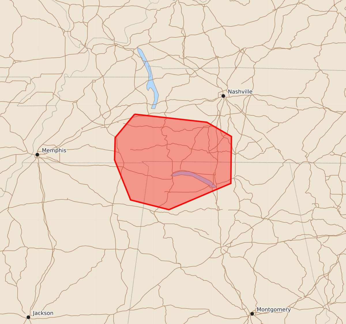
Summary
Isolated damaging winds of up to 60 mph are possible across southern middle Tennessee, northern Alabama, and far northeast Mississippi through the early morning hours.
Product Text
000 ACUS11 KWNS 270407 SWOMCD SPC MCD 270406 TNZ000-ALZ000-MSZ000-270530- Mesoscale Discussion 1753 NWS Storm Prediction Center Norman OK 1106 PM CDT Sun Jul 26 2026 Areas affected...Southwest/southern middle TN into northern AL and far northeast MS Concerning...Severe Thunderstorm Watch 517... Valid 270406Z - 270530Z The severe weather threat for Severe Thunderstorm Watch 517 continues. SUMMARY...Isolated damaging wind will remain possible into the early morning hours. DISCUSSION...A long-lived storm cluster continues to move southward across parts of western/middle TN late this evening. Some weakening has been noted over the last 1-2 hours, and a gradual weakening trend is expected to continue, due to weak low-level flow and weaker deep-layer flow/shear with southward extent. However, very rich low-level moisture continues to support strong to extreme buoyancy, with downstream MLCAPE in the 3000-4000 J/kg range. This buoyancy may aid in occasional updraft intensification along the gust front, and a continuation of at least an isolated damaging-wind threat into the early overnight hours across northern AL and far northeast MS. ..Dean.. 07/27/2026 ...Please see www.spc.noaa.gov for graphic product... ATTN...WFO...OHX...BMX...HUN...MEG... LAT...LON 35858833 35718707 35468664 34648665 34188773 34358840 35058868 35448867 35858833 MOST PROBABLE PEAK WIND GUST...UP TO 60 MPH