Mesoscale Discussion 1737
Issued: · Valid: –
Summary
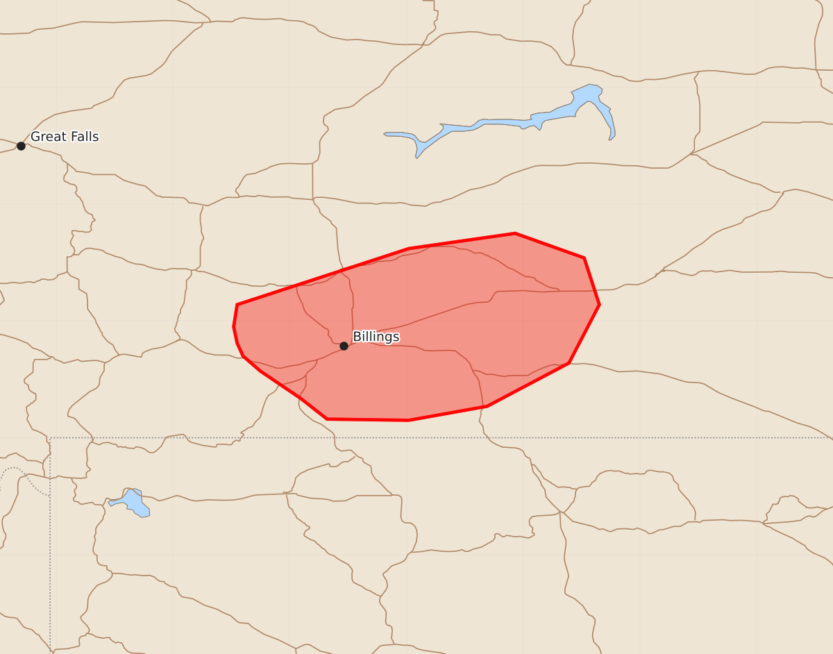
Severe thunderstorms capable of producing wind gusts between 65 and 80 mph may affect portions of southern Montana through the evening of July 25, 2026.
Product Text
000 ACUS11 KWNS 260135 SWOMCD SPC MCD 260134 MTZ000-260300- Mesoscale Discussion 1737 NWS Storm Prediction Center Norman OK 0834 PM CDT Sat Jul 25 2026 Areas affected...portions of southern Montana Concerning...Severe Thunderstorm Watch 514... Valid 260134Z - 260300Z The severe weather threat for Severe Thunderstorm Watch 514 continues. SUMMARY...A few severe gusts remain possible through the evening hours. DISCUSSION...Thunderstorms have shown a slight decreasing trend in overall coverage and intensity over the past hour. Nonetheless, a few intense convective cells remain in progress, particularly over Stillwater County, MT. Surface temperatures range from 90-100 F ahead of the ongoing storms, suggesting that a well-mixed boundary layer remains in place to support a few more potentially severe gusts with the stronger storm cores. However, the severe threat should gradually subside in a few hours with the onset of nocturnal cooling. ..Squitieri.. 07/26/2026 ...Please see www.spc.noaa.gov for graphic product... ATTN...WFO...BYZ... LAT...LON 45150798 45160868 45340891 45570925 45700940 45810945 45950948 46140945 46620798 46750707 46540648 46140635 45640661 45270731 45150798 MOST PROBABLE PEAK WIND GUST...65-80 MPH